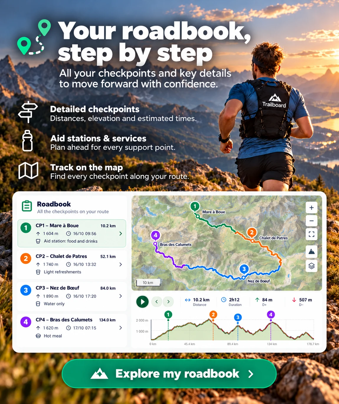
Reference route: marker positions are approximate and may differ on the ground.
- Position on the route
- 0 km
- Distance
- 14.8km
- Estimated time
- 3h05
- Elevation gain
- 800m
- Elevation loss
- 800m
The GPX contains no elevation profile. The figures below are the organizer’s official elevation values.
1 point cannot be located on this route: segments use known positions only.
| Arrival time | Route progress | Waypoint | Elevation profile | Km | D+ / D−m | Pacingmin/km | Services | |
|---|---|---|---|---|---|---|---|---|
| 19:30 | 0 km | — | — | |||||
| — | — km | — | — | 🥤 | 🥤 | |||
| 22:35 | 03:05 | 14.79 km | — | — |