
- Position on the route
- 0 km
- Distance
- 10km
- Estimated time
- 1h39
- Elevation gain
- 310m
- Elevation loss
- 313m
| Arrival time | Route progress | Waypoint | Elevation profile | Km | D+ / D−m | Pacingmin/km | Services | |
|---|---|---|---|---|---|---|---|---|
| 10:30 | 0 km | — | — | |||||
| 10:37 | 00:07D+ 12 mD− 2 m | 0.72 km | 122 | — | ||||
| 10:42 | 00:05D+ 14 mD− 2 m | 1.24 km | 142 | — | ||||
| 10:49 | 00:07D+ 12 mD− 2 m | 1.88 km | 122 | — | ||||
| 10:50 | 00:01D+ 4 mD− 0 m | 2 km | 40 | — | ||||
| 10:53 | 00:03D+ 15 mD− 0 m | 2.35 km | 150 | — | ||||
| 10:55 | 00:02D+ 11 mD− 0 m | 2.58 km | 110 | — | ||||
| 10:58 | 00:03D+ 13 mD− 0 m | 2.84 km | 130 | — | ||||
| 10:59 | 00:01D+ 14 mD− 0 m | 2.92 km | 140 | — | ||||
| 11:04 | 00:05D+ 30 mD− 17 m | 3.5 km | 3017 | — | ||||
| 11:13 | 00:09D+ 3 mD− 42 m | 4.37 km | 342 | — | ||||
| 11:16 | 00:03D+ 6 mD− 5 m | 4.72 km | 65 | — | ||||
| 11:29 | 00:13D+ 165 mD− 2 m | 6 km | 1652 | — | ||||
| 11:36 | 00:07D+ 3 mD− 99 m | 6.68 km | 399 | — | ||||
| 11:44 | 00:08D+ 0 mD− 80 m | 7.56 km | 080 | — | ||||
| 11:48 | 00:04D+ 0 mD− 15 m | 7.94 km | 015 | — | ||||
| 11:50 | 00:02D+ 2 mD− 5 m | 8.17 km | 25 | — | ||||
| 11:51 | 00:01D+ 1 mD− 0 m | 8.2 km | 10 | — | ||||
| 11:52 | 00:01D+ 2 mD− 1 m | 8.36 km | 21 | — | ||||
| 11:58 | 00:06D+ 0 mD− 16 m | 8.9 km | 016 | — | ||||
| 12:02 | 00:04D+ 1 mD− 13 m | 9.37 km | 113 | — | ||||
| 12:09 | 00:07D+ 0 mD− 13 m | 10.05 km | 013 | — |
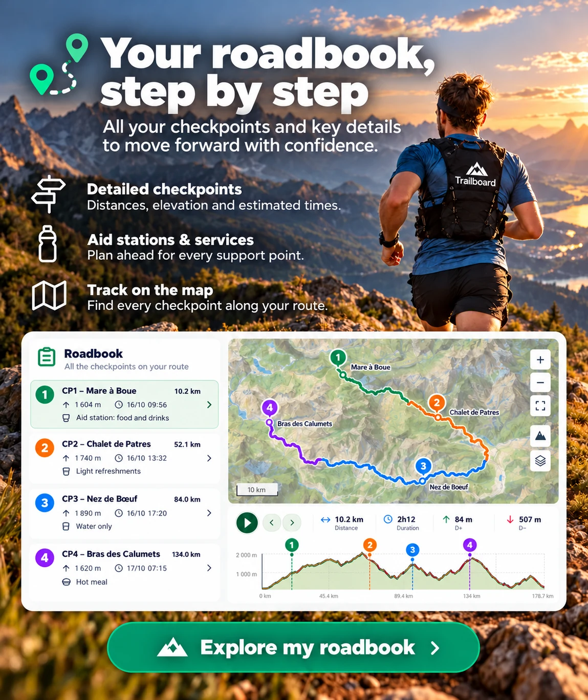
Sections identified on the preview; cumulative ascent, descent and maximum elevation come from the complete track.
Course analysis
Sections identified on the preview; cumulative ascent, descent and maximum elevation come from the complete track.