The Hardrock 100 2026 — clockwise page brings together published data for this running route.
The route is listed from Silverton, Colorado, États-Unis to Silverton, Colorado, États-Unis, with 159.1 km and 10,193 m D+ on the page.
Listed organiser: Hardrock Hundred Endurance Run.
Start / area
Silverton, Colorado, États-Unis
Finish
Silverton, Colorado, États-Unis
Edition
2026
Distance
159.1 km
Elevation gain
10,193 m D+
GPX track and calculated values
Calculated values for this track: 158.9 km of distance calculated from the GPX track · 10,384 m ascent calculated with Copernicus DEM GLO-30.
Distance follows the GPX geometry; ascent uses elevations derived from Copernicus DEM GLO-30. These calculations remain separate from the organiser's figures.
Source-page value: 163.8 km; distance calculated from the GPX: 158.9 km.
Source-page value: 10,193 m ascent; ascent calculated with Copernicus DEM GLO-30: 10,384 m.
Documented checkpoints and aid stations
Aid stations or life bases: 13 · listed water points: 0 · checkpoints: 13.
Cataract Putnam Pass · km 11.6
Porcupine Cataract Pass · km 13.8
KT · km 18.5 — No crew. No drop bags.
Grant Swamp Pass · km 24
Chapman Gulch · km 29.1 — Crew allowed on foot only from the designated parking area at Ophir.
Oscar’s Pass · km 34.3
Telluride · km 44.7
Kroger’s Canteen · km 52.6 — No crew. No drop bags.
Virginius Pass
Governors Basin · km 58.4 — No crew. No drop bags. Crews must not meet the runner on Camp Bird Road / CR 26.
Ouray · km 70.7 — Pacers may start from here. Lowest point of the Hardrock 100.
Engineer · km 83.5 — Remote station: all supplies are carried in on foot. No crew or drop bags.
Burrows Park · km 109.1 — No crew or drop bags. Do not meet or assist the runner on Cinnamon Pass Road.
Sherman · km 115.9 — Pacer exchange allowed. Road access may require several hours round trip.
Cataract Pole Pass · km 124.2
Pole Creek · km 131.2 — Remote station: all supplies are carried in on foot. No crew or drop bags.
Maggie / Pole Pass · km 137.4
Maggie Gulch · km 139.2 — No crew or drop bags. Pacer exchange on foot only from CR-2.
Buffalo Boy Ridge · km 141.6
Green Mountain / Stony Pass Ridge · km 144
Cunningham Gulch · km 148.9 — Pacer exchange allowed. Access road very busy: one vehicle per runner, carpooling recommended.
Dives Little Giant Pass · km 152.4
Sources reviewed
Official sources: 4 · sources with a recorded review date: 4. Updates from the organiser always take precedence.
Latest recorded check: 16 September 2026.
Frequently asked questions
Is the Hardrock 100 2026 — clockwise GPX available?
Yes. The track and its profile can be viewed here, and the file is available as a free download from this page.
Do these details replace the organiser's instructions?
No. This page makes sources easier to consult and separates published data from GPX calculations. Check the latest official instructions before the start.
These items are shown explicitly so an approximation is never presented as official data.
The organiser's GPX provides the complete geometry but no elevation samples: it does not allow a profile or elevation gain to be calculated from the track.
The 10,193 m D+ and 10,193 m D− are the organiser's official values, converted from 33,441 ft; they are not metrics calculated by Trailboard.
Aid station locations are those in the organiser's table; the named waypoints come from the race description. The water and food contents are not specified by these documents.
Notable places
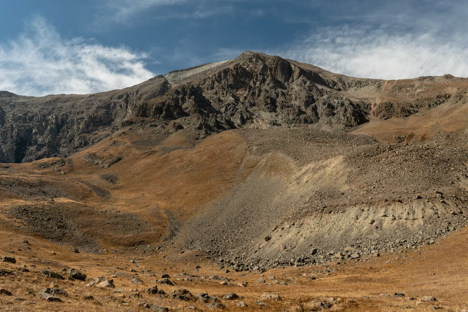
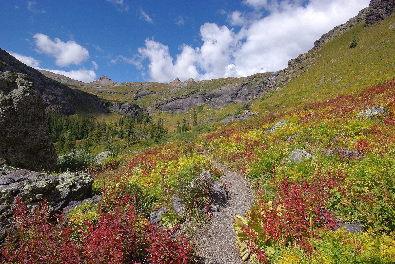
Autumn trail in Ice Lake Basin, San Juan MountainsAdam Baker · CC BY 2.0 · adapted image
Check the information
Sources and provenance
These links point to the documents used. The organiser's instructions remain authoritative if they change.
Race feedback
Have you already run this race?
Share your feedback: conditions, course marking, atmosphere, difficulty or tips for future participants.