
- Position on the route
- 0 km
- Distance
- 32.9km
- Estimated time
- 5h56
- Elevation gain
- 1,362m
- Elevation loss
- 1,702m
| Arrival time | Route progress | Waypoint | Elevation profile | Km | D+ / D−m | Pacingmin/km | Services | |
|---|---|---|---|---|---|---|---|---|
| 04:40 | 0 km | — | — | |||||
| 08:03 | 03:23D+ 749 mD− 732 m | 18.74 km | 749732 | — | 🥤 | 🥤 | ||
| 09:01 | 00:58D+ 55 mD− 413 m | 24.2 km | 55413 | — | 💧 | 💧 | ||
| 09:35 | 00:34D+ 464 mD− 18 m | 27.33 km | 46418 | — | 🥤 | 🥤 | ||
| 10:36 | 01:01D+ 94 mD− 538 m | 32.91 km | 94538 | — |
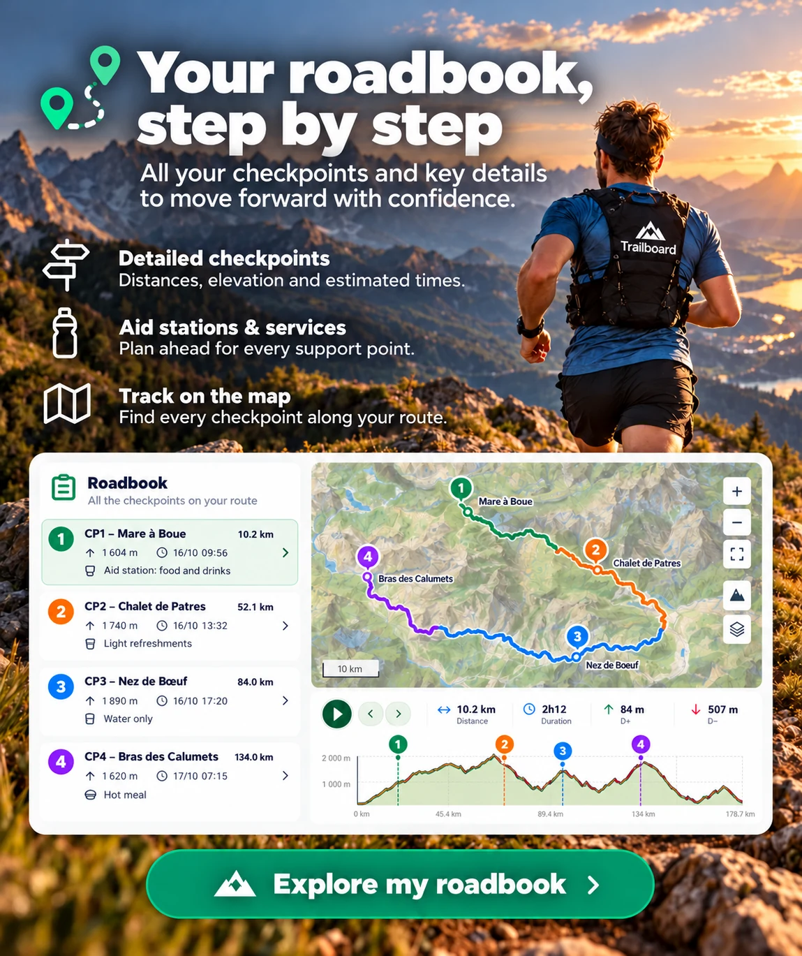
Sections identified on the preview; cumulative ascent, descent and maximum elevation come from the complete track.
Course analysis
Sections identified on the preview; cumulative ascent, descent and maximum elevation come from the complete track.