

Skip to Explorer content

Ultra Trail des Montagnes du Jura 2026

UTMJ 2026 — La Renarde 75 km

The GPX track is deliberately withheld until shortly before the race to protect private property.

October 3, 2026Les Rousses, Jura, France

Distance
75 km
Elevation
+2,600 m

Loading route and elevation profile…

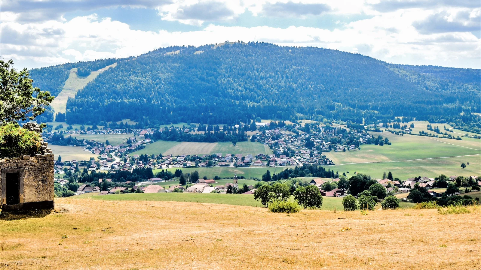
View over Métabief and Morond, the common finish area for UTMJ 2026 formats.
Photo:EspiratCC BY-SA 4.0 · adapted image

Route reference

Prepare the UTMJ 2026 — La Renarde 75 km route

The UTMJ 2026 — La Renarde 75 km page brings together published data for this running route.

The route is listed from Les Rousses, Jura, France to Métabief, Doubs, France, with 75 km and 2,600 m D+ on the page.

Listed organiser: Ultra Trail des Montagnes du Jura.

Start / area
Les Rousses, Jura, France
Finish
Métabief, Doubs, France
Edition
2026
Distance
75 km
Elevation gain
2,600 m D+

GPX track and calculated values

Calculated values for this track: 71.4 km of distance calculated from the GPX track · 2,530 m ascent calculated from GPX elevations.

These track measurements remain separate from the organiser's figures and depend on the GPX version and sampling.

  • Source-page value: 75 km; distance calculated from the GPX: 71.4 km.
  • Source-page value: 2,600 m ascent; ascent calculated from GPX elevations: 2,530 m.
Sources reviewed

Official sources: 1 · sources with a recorded review date: 1. Updates from the organiser always take precedence.

Latest recorded check: 16 September 2026.

Frequently asked questions

Is the UTMJ 2026 — La Renarde 75 km GPX available?

Yes. The track and its profile can be viewed here, and the file is available as a free download from this page.

Do these details replace the organiser's instructions?

No. This page makes sources easier to consult and separates published data from GPX calculations. Check the latest official instructions before the start.

Reviewed information

Preparation and points to check

Race-day instructions

  • Do not go onto the private sections; the race-day course marking prevails.

Differences and information still uncertain

These items are shown explicitly so an approximation is never presented as official data.

  • GPX, positions of the seven aid stations and D- are not published at the time of verification.
  • The route may be changed by the organiser.

Check the information

Sources and provenance

These links point to the documents used. The organiser's instructions remain authoritative if they change.

Race feedback

Have you already run this race?

Share your feedback: conditions, course marking, atmosphere, difficulty or tips for future participants.

No reviews yet. Be the first to share useful feedback.