
Hiking · France
Boucle du Voua Bénit — sentier 1

Loading route and elevation profile…
A short walk by Voua Bénit
Path 1 is the shortest of the four signposted loops at the Vouas du Lyaud. It crosses a wetland landscape shaped by glacial hollows and offers an easy short visit.
Start and waymarking
Destination Léman gives the Voua Bénit car park in Le Lyaud as the starting point. Path 1 is marked yellow and described as a short, easy walk.
A natural site to explore
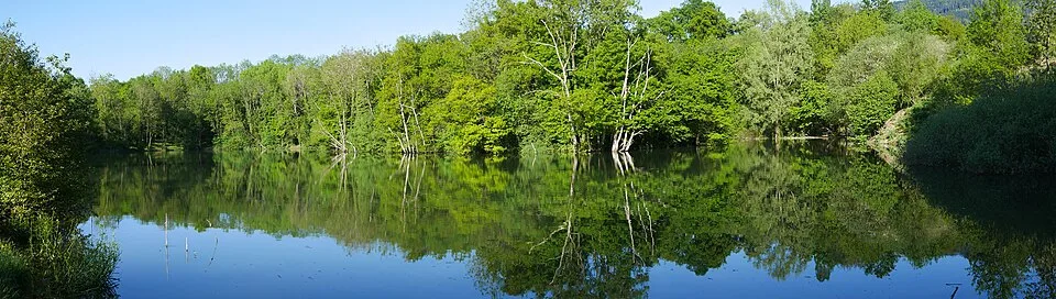
The Vouas du Lyaud are glacial depressions now occupied by ponds and wetlands. Interpretive signs explain their origin in the retreat of the Rhône glacier.
Track and measurement
This guide uses the OSM Tour du Voua Bénit relation, a closed line with 127 points. Its calculated length is 0.793 km; the official page rounds path 1 to 0.9 km.
Notable places
At a glance
- Start
- Le Lyaud, Chablais, Haute-Savoie
- Finish
- Parking du Voua Bénit, Le Lyaud
Plan your hike
Reach the start
Destination Léman lists the Voua Bénit car park in Le Lyaud as the starting point.
Destination Léman ↗Protect the wetland
Stay on the signposted path and follow the interpretation signs to help protect the shore and wetland habitat.
Destination Léman ↗Plan your hike
This guide uses OSM relation 7670475. Compared with the official path 1 GPX, the OSM line is covered within 5 m; the official track is covered 95.0% within 25 m. The official file is not redistributed.
Official sources and resourcesThe Vouas are wetlands; stay on paths and avoid disturbing wildlife.
Official sources and resources
OpenStreetMap · relation 7670475 · © OpenStreetMap contributors · ODbL 1.0
The GPX follows OSM relation 7670475, “Tour du Voua Bénit”, a closed loop in Le Lyaud. Destination Léman describes path 1 of the Voua Bénit loop as an easy yellow-marked 0.9 km walk starting at the car park. The GPX geometry and metrics come from the national OSM snapshot; the official page verifies the name, start and published route details.
Race feedback
Have you already run this race?
Share your feedback: conditions, course marking, atmosphere, difficulty or tips for future participants.