
Hiking · France
Tour du mont de Grange par Lenlevay et le chalet de la Torrens
21kmOfficial distance
+1,214mOfficial elevation gain

Loading route and elevation profile…
Plan des Feux to Lenlevay
From Plan des Feux head for La Plaine Joux and L’Enquernaz. The track continues to Saint-Théodule near km 7.4. Chalet du Bailly and the Jouly chalets mark the climb towards Lenlevay just beyond halfway.
Les Mattes and the Torrens return
From Lenlevay continue towards L’Étrye, Le Pron and Les Mattes. This variant then goes via Chalet de la Torrens and Les Crottes back to Plan des Feux. The tourist office describes a different return via Trébentaz refuge.
Notable places
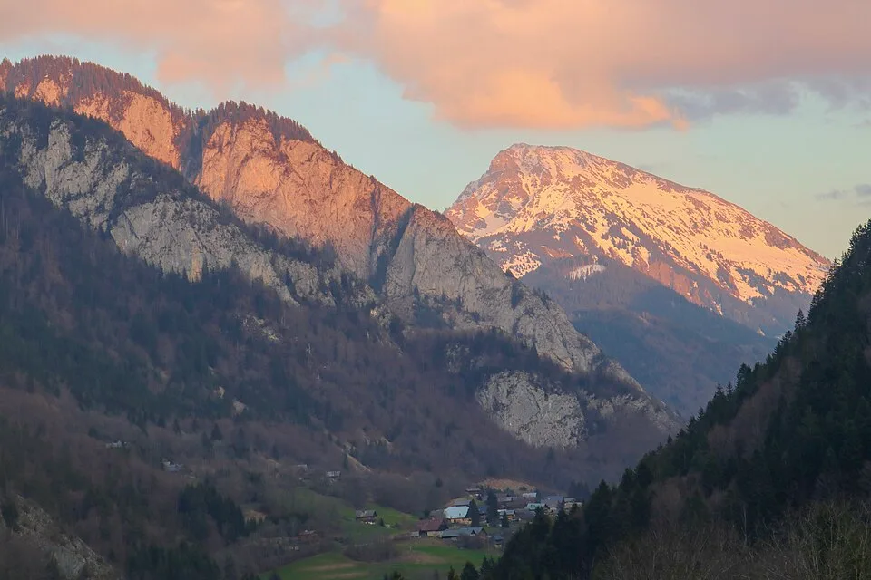
At a glance
- Start
- La Chapelle-d’Abondance, Chablais, Haute-Savoie
- Finish
- Plan des Feux, La Chapelle-d’Abondance
Plan your hike
Choosing the Torrens loop
The track circles the mountain. Climbing the summit via the Coicon ridge or visiting Trébentaz refuge adds distance. Plan the day using the profile of the supplied file.
Léman Mountains Explore ↗OSM track · OpenStreetMap
Mapped by OpenStreetMap contributors. Heights calculated from Copernicus GLO-30.
Race feedback
Have you already run this race?
Share your feedback: conditions, course marking, atmosphere, difficulty or tips for future participants.