The SwissPeaks 100 Miles 2026 page brings together published data for this running route.
The route is listed from Barrage de la Grande-Dixence, Suisse to Le Bouveret, Suisse, with 168.6 km and 4,458 m D+ on the page.
Listed organiser: SwissPeaks Trail.
Start / area
Barrage de la Grande-Dixence, Suisse
Finish
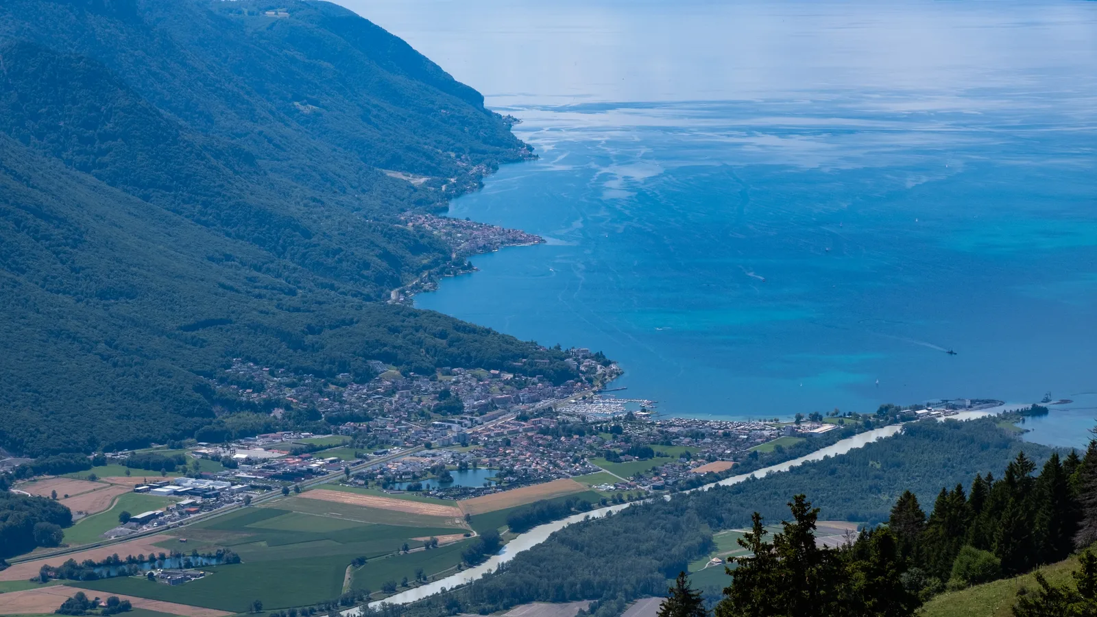
Le Bouveret, Suisse
Edition
2026
Distance
168.6 km
Elevation gain
4,458 m D+
GPX track and calculated values
Calculated values for this track: 168.4 km of distance calculated from the GPX track · 10,818 m ascent calculated from GPX elevations.
These track measurements remain separate from the organiser's figures and depend on the GPX version and sampling.
Source-page value: 168 km; distance calculated from the GPX: 168.4 km.
Source-page value: 10,990 m ascent; ascent calculated from GPX elevations: 10,818 m.
Documented checkpoints and aid stations
Aid stations or life bases: 12 · listed water points: 13 · checkpoints: 0.
Grand Désert · km 8 — Services published in the official 2026 roadbook; products and quantities not detailed.
Lourtier · km 20 — Services published in the official 2026 roadbook; products and quantities not detailed.
Cabane Brunet · km 26 — Services published in the official 2026 roadbook; products and quantities not detailed.
Prassurny · km 50 — Services published in the official 2026 roadbook; products and quantities not detailed.
Col de la Forclaz – Plan Creux · km 68 — Services published in the official 2026 roadbook; products and quantities not detailed.
Salvan · km 81 — Services published in the official 2026 roadbook; products and quantities not detailed.
Salanfe · km 90 — Services published in the official 2026 roadbook; products and quantities not detailed.
Barme · km 105 — Services published in the official 2026 roadbook; products and quantities not detailed.
Chaux Palin · km 116 — Services published in the official 2026 roadbook; products and quantities not detailed.
Morgins · km 126 — Services published in the official 2026 roadbook; products and quantities not detailed.
Torgon · km 138 — Services published in the official 2026 roadbook; products and quantities not detailed.
Taney · km 151 — Services published in the official 2026 roadbook; products and quantities not detailed.
Le Grand Pré · km 160 — Services published in the official 2026 roadbook; products and quantities not detailed.
Sources reviewed
Official sources: 4 · sources with a recorded review date: 4. Updates from the organiser always take precedence.
Latest recorded check: 15 September 2026.
Frequently asked questions
Is the SwissPeaks 100 Miles 2026 GPX available?
Yes. The track and its profile can be viewed here, and the file is available as a free download from this page.
Do these details replace the organiser's instructions?
No. This page makes sources easier to consult and separates published data from GPX calculations. Check the latest official instructions before the start.
Treat the cutoffs as the latest exit times from the checkpoints.
Check the road book and the weather instructions published just before the start.
Differences and information still uncertain
These items are shown explicitly so an approximation is never presented as official data.
The organiser's summary announces 168 km / 10,990 m D+ / 13,000 m D- and 56 h; the roadbook table totals 172 km / 11,035 m D+ / 13,017 m D- and places the finish 57 h after the start.
The exact products and their quantities are not published in the roadbook table.
RacePlan is not the source of any imported value.
Notable places
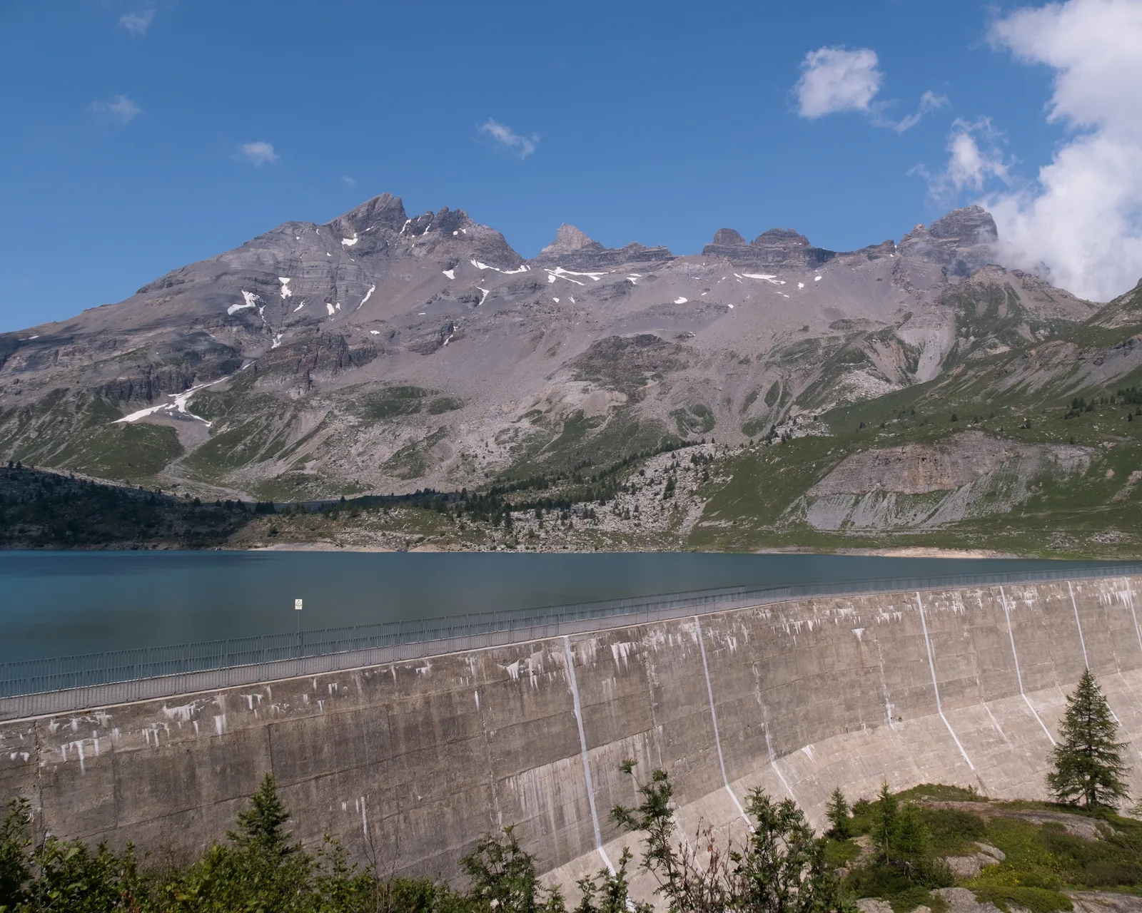
Salanfe dam and lake below the Dents du Midi on the SwissPeaks TrailChristian David · CC BY-SA 4.0 · adapted image
Check the information
Sources and provenance
These links point to the documents used. The organiser's instructions remain authoritative if they change.
SwissPeaks 100 Miles 2026 listing - officialOfficial

Race feedback
Have you already run this race?
Share your feedback: conditions, course marking, atmosphere, difficulty or tips for future participants.