
Hiking · France
Pointe de Pelluaz par les chalets d’Oche, depuis la Fétiuère

Loading route and elevation profile…
From La Fétiuère to the Chalets d’Oche
Several walks start from the La Fétiuère car park. Take the forest path uphill towards the Chalets d’Oche, which you reach about 2.1 km into the route. Leave the path to the Dent d’Oche refuge here and continue up the valley towards the Lac de la Case.
From the lake to the Pelluaz ridge
Beyond the lake the terrain changes at the Col de la Case d’Oche, around 3.5 km along the GPX track. The path then follows the ridge to the Pointe de Pelluaz, at roughly 4.7 km. You need a steady footing on this exposed section, especially when the rock is wet.
Back down the ski slopes
From the summit, descend on the other side of the ridge. The lifts and the Pelluaz reservoir help you find the way towards Pré Richard and the forest at La Fétiuère. The Randos-MontBlanc guide describes a shorter return. Allow for 8.8 km if you follow the loop shown here.
Notable places
At a glance
- Start
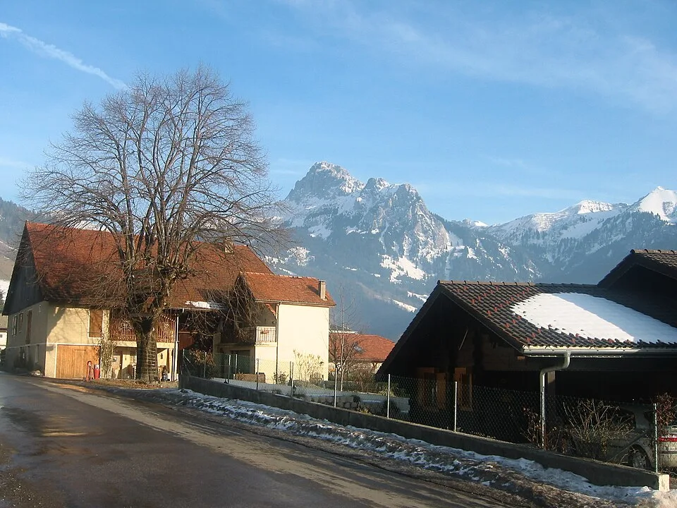
- Bernex, Chablais, Haute-Savoie
Metrics calculated from the Trailboard track
Tracé de la randonnée sur OpenStreetMap · Contributeurs OpenStreetMap
OpenStreetMap geometry ordered from the starting point described here. © OpenStreetMap contributors, ODbL 1.0.
Race feedback
Have you already run this race?
Share your feedback: conditions, course marking, atmosphere, difficulty or tips for future participants.