The Trail de l’Ébron 2026 page brings together published data for this running route.
The route is listed from Treffort, Isère, France to Treffort, Isère, France, with 16 km and 767 m D+ on the page.
Listed organiser: Idée-Alpe.
Start / area
Treffort, Isère, France
Finish
Treffort, Isère, France
Edition
2026
Distance
16 km
Elevation gain
767 m D+
GPX track and calculated values
Calculated values for this track: 16 km of distance calculated from the GPX track · 757 m ascent calculated from GPX elevations.
These track measurements remain separate from the organiser's figures and depend on the GPX version and sampling.
Source-page value: 750 m ascent; ascent calculated from GPX elevations: 757 m.
Documented checkpoints and aid stations
Aid stations or life bases: 1 · listed water points: 1 · checkpoints: 0.
Hameau de Maissenas · km 8
Sources reviewed
Official sources: 6 · sources with a recorded review date: 6. Updates from the organiser always take precedence.
Latest recorded check: 25 September 2026.
Frequently asked questions
Is the Trail de l’Ébron GPX available?
Yes. The track and its profile can be viewed here, and the file is available as a free download from this page.
Do these details replace the organiser's instructions?
No. This page makes sources easier to consult and separates published data from GPX calculations. Check the latest official instructions before the start.
Start scheduled at 17:00 from Treffort on Saturday 11 July 2026, with finish at the same place.
Aid station at Maissenas at km 8, cutoff at 19:00; finish closes at 21:00.
Pick-up in Échirolles, in Treffort on 10 July or on 11 July from 7:00 to 16:45.
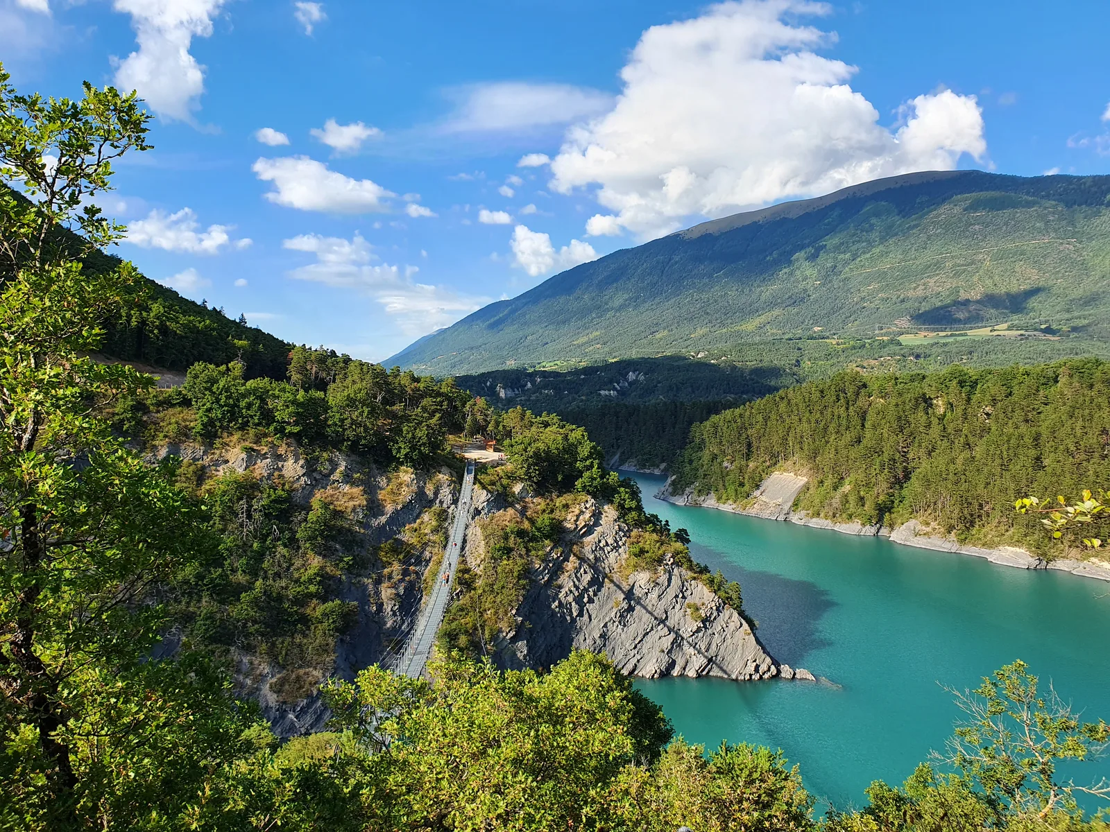
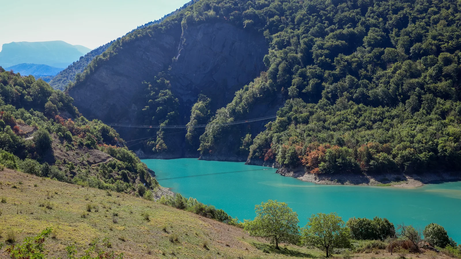
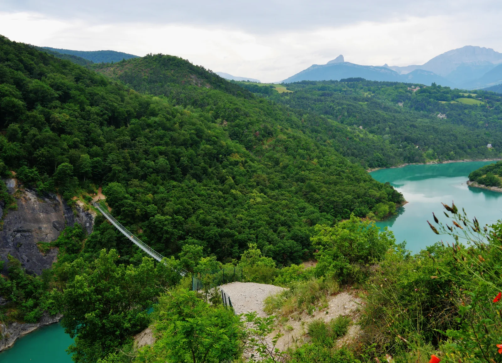
Baggage drop at Treffort; the route crosses the Ébron footbridge and passes through the Pont de Brion and Maissenas.
Born in 2006 or earlier; fees 25/30/36 €; UTMB Qualifier 20 km.
Personal cup mandatory; no cups are handed out. Outside assistance limited to authorised zones; no post-race meal is planned, but a finish-line aid station and a recovery area are announced.
Differences and information still uncertain
These items are shown explicitly so an approximation is never presented as official data.
Organiser distances and elevation figures are indicative; the rules state that some private or dangerous sections are not necessarily included in the public GPX. Race-day course marking takes priority.
The organisation cancelled the 2026 event on the morning of 11 July due to a thunderstorm risk; the listing keeps the organiser's route as a catalogue adventure.
Notable places
Drac suspension footbridge above Lake Monteynard-AvignonetJohannes Reimer · CC BY 4.0 · adapted imageDrac suspension bridge across a wooded inlet of Lake MonteynardZairon · CC BY 4.0 · adapted image
Check the information
Sources and provenance
These links point to the documents used. The organiser's instructions remain authoritative if they change.

Race feedback
Have you already run this race?
Share your feedback: conditions, course marking, atmosphere, difficulty or tips for future participants.