
TRAILBOARD.
🇬🇧 EN

Montreux Trail Festival 2026

MXTREME 100 2026

📅 July 25, 2026📍 Bex, Suisse
102 kmDistance
4,363 mElevation
Countdown
57
days ago

Organised by Dénivelé Positif

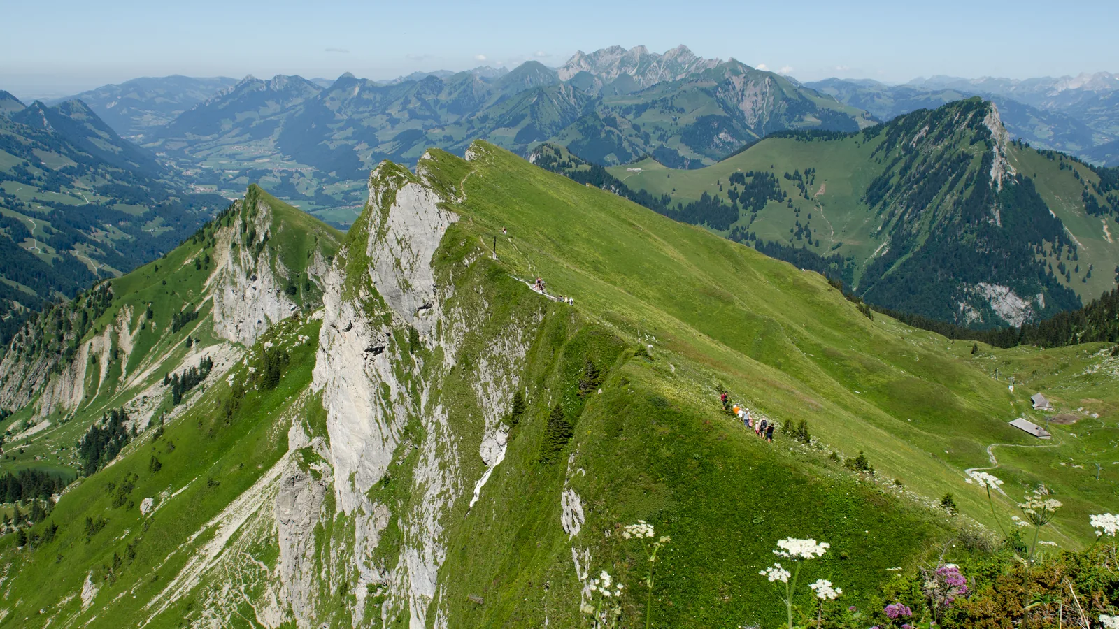
Ridge of Rochers de Naye in the Vaud Alps near Montreux
Photo of the area, separate from official race photography.Photo:Gabriel Garcia MarengoCC0 1.0Image cropped, resized and converted to WebP.
Loading…

Route reference

Prepare the MXTREME 100 2026 route

The MXTREME 100 2026 page brings together published data for this running route.

The route is listed from Bex, Suisse to Place du Marché, Montreux, Suisse, with 101.9 km and 4,363 m D+ on the page.

Listed organiser: Dénivelé Positif.

Start / area
Bex, Suisse
Finish
Place du Marché, Montreux, Suisse
Edition
2026
Distance
101.9 km
Elevation gain
4,363 m D+

GPX track and published figures

The linked GPX indicates 101.9 km from the GPX · 6,991 m ascent from the GPX.

Organiser-published figures and values calculated from the GPX remain separate: a track depends on its version and sampling.

  • Source-page value: 102 km; distance calculated from the GPX: 101.9 km.
  • Source-page value: 7,000 m ascent; ascent calculated from the GPX: 6,991 m.

Sources reviewed

This page shows 1 official source(s) and 1 source(s) with a recorded review date. Updates from the organiser always take precedence.

Latest recorded check: 16 September 2026.

Frequently asked questions

Is the MXTREME 100 2026 GPX available?

Yes. The track and its profile can be viewed here, and the file is available as a free download from this page.

Do these details replace the organiser's instructions?

No. This page makes sources easier to consult and separates published data from GPX calculations. Check the latest official instructions before the start.

Reviewed information

Preparation and points to check

Differences and information still uncertain

These items are shown explicitly so an approximation is never presented as official data.

  • La trace GPX est liée depuis la page officielle et ses extrémités correspondent à Bex et Montreux. Le lecteur Trailboard calcule 101,884 km, 4 363,4 m D+ et 3 678,1 m D-, différents des 102 km et 7 000 m D+ publiés par l’organisateur.

Check the information

Sources and provenance

These links point to the documents used. The organiser's instructions remain authoritative if they change.

Chargement…