
Hiking · France
Le Miroir des Eaux, boucle de Cervens

Loading route and elevation profile…
Join the loop in Cervens
Route des Collines meets Chemin de la Cure on the circuit. On the Terrotet side the mapped route also follows Chemin de Coudry and Chemin de la Boulangerie.
A landscape shaped by water
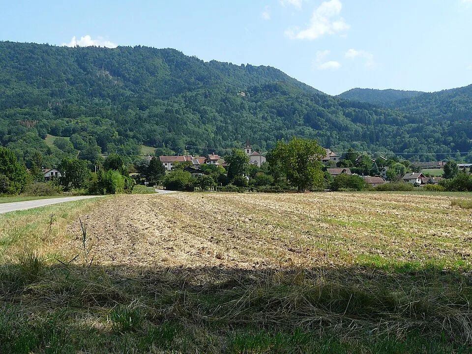
Thonon Agglomération identifies the Lanches wetland beside this interpretation trail. In 2018 it began restoring a marsh that had been farmed for several decades.
Notable places
At a glance
- Start
- Cervens, Chablais, Haute-Savoie
- Finish
- Cervens, Chablais, Haute-Savoie
Metrics calculated from the Trailboard track
Plan your hike
Getting to the start
The junction of Route des Collines and Chemin de la Cure is our suggested access point. Several other sections of the local trail network can be walked separately.
OpenStreetMap ↗Plan your hike
The file covers the 6.3 km circuit recorded as OSM relation 18168685, including the named locality of Le Reyret.
Official sources and resources
OpenStreetMap · 18168685 · © OpenStreetMap contributors · ODbL 1.0
The Cervens loop starts where Route des Collines meets Chemin de la Cure.
Race feedback
Have you already run this race?
Share your feedback: conditions, course marking, atmosphere, difficulty or tips for future participants.