The Demi tOur du Lac 2027 page brings together published data for this running route.
The route is listed from Stade Marcel Talin, Doussard, France to Annecy, France, with an unpublished distance and an unpublished ascent on the page.
Listed organiser: MaXi-Race.
Start / area
Stade Marcel Talin, Doussard, France
Finish
Annecy, France
Edition
2027
GPX track and calculated values
Calculated values for this track: 57 km of distance calculated from the GPX track · 3,360 m ascent calculated with ign_rge_alti_wld.
Distance follows the GPX geometry; ascent uses elevations derived from ign_rge_alti_wld. These calculations remain separate from the organiser's figures.
Documented checkpoints and aid stations
Aid stations or life bases: 1 · listed water points: 4 · checkpoints: 2.
Water point — km 13.6 · km 13.6 — Indicative distance from the official table; no official intermediate coordinates published. Cutoff at the station exit: leave before the deadline; no return to the food area after leaving. Personal assistance is forbidden outside authorized aid bases.
Water point — km 21.6 · km 21.6 — Indicative distance from the official table; no official intermediate coordinates published. Cutoff at the station exit: leave before the deadline; no return to the food area after leaving. Personal assistance is forbidden outside authorized aid bases.
Forest — km 30.6 · km 30.6 — Indicative distance from the official table; no official intermediate coordinates published.
Semnoz life base · km 36.7 — Indicative distance from the official table; no official intermediate coordinates published. Cutoff at the station exit: leave before the deadline; no return to the food area after leaving. Crew support only in the designated area; the aid tent is reserved for runners.
Water point — entire course · km 46 — Indicative distance from the official table; no official intermediate coordinates published. Cutoff at the station exit: leave before the deadline; no return to the food area after leaving. Personal assistance is forbidden outside authorized aid bases.
Forest — km 51.1 · km 51.1 — Indicative distance from the official table; no official intermediate coordinates published.
Sources reviewed
Official sources: 5 · sources with a recorded review date: 5. Updates from the organiser always take precedence.
Latest recorded check: 8 October 2026.
Frequently asked questions
Is the Demi tOur du Lac GPX available?
Yes. The track and its profile can be viewed here, and the file is available as a free download from this page.
Do these details replace the organiser's instructions?
No. This page makes sources easier to consult and separates published data from GPX calculations. Check the latest official instructions before the start.
Start on 30 May 2027: 08:00, 08:07, 08:14, 08:21 and 08:28. Corrals open 20 minutes beforehand; walk to the start.
Collect the bib the previous day at MaXi-Village with supporting documents and ID. Adults must book a slot from 23 April to 21 May; no race-day collection.
Optional €12 runner bus: 06:30 departure from collège des Barattes in Annecy; book before 23 April at 09:00. Crew support only at Semnoz.
At km 43.1 the shorter diversion becomes mandatory after 16:25; this route change is not an eliminating cutoff. Water at km 46 is for the full course only.
Checks before the start
Read the documents for your edition and check your assigned wave.
Plan self-sufficiency between stations and respect crew-support zones.
Check equipment and any activated weather kits before starting.
Differences and information still uncertain
These items are shown explicitly so an approximation is never presented as official data.
Reference route for discovery; race checkpoints and their positions are indicative on this route.
2027 menus are due in April 2027. The 2026 food lists are not assigned to 2027 stations.
The practical guide adds indicative water stations around km 30, 48 and 51, while the table places the full-course station at km 46. These differences are retained; no extra intermediate point is geolocated.
Exact medical stations, food stocks and intermediate coordinates are unconfirmed. No service absent from the sources is invented.
The equipment table dates from September 2025 with no printed edition year. Check updates and weather-kit activation; blank cells do not mean a prohibition.
Notable places
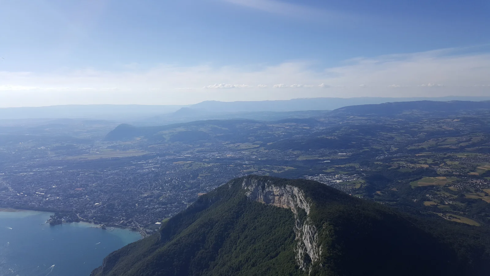
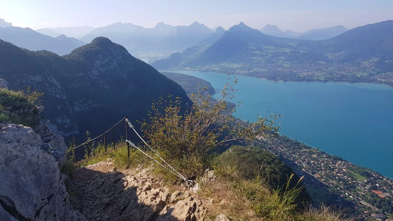
View of Lake Annecy from a Mont Veyrier trail.Calydon74 · CC BY-SA 4.0 · adapted image
Check the information
Sources and provenance
These links point to the documents used. The organiser's instructions remain authoritative if they change.

Race feedback
Have you already run this race?
Share your feedback: conditions, course marking, atmosphere, difficulty or tips for future participants.