
Long-distance hiking · Türkiye
Lycian Way — Likya Yolu
629kmTrack distance
+29,852mTrack elevation gain
Loading route and elevation profile…
Listing status
The official source documents the Lycian Way. As the identified file is reserved for buyers of the guide, Trailboard links to it without copying or modifying it.
Notable places
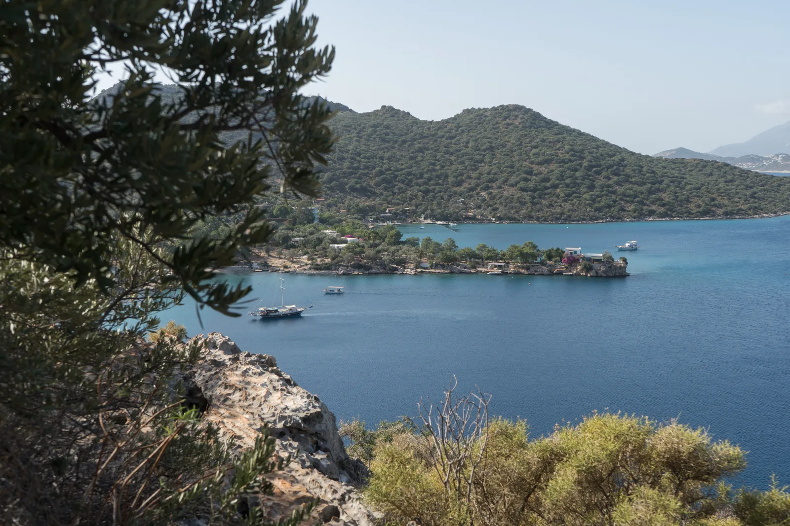
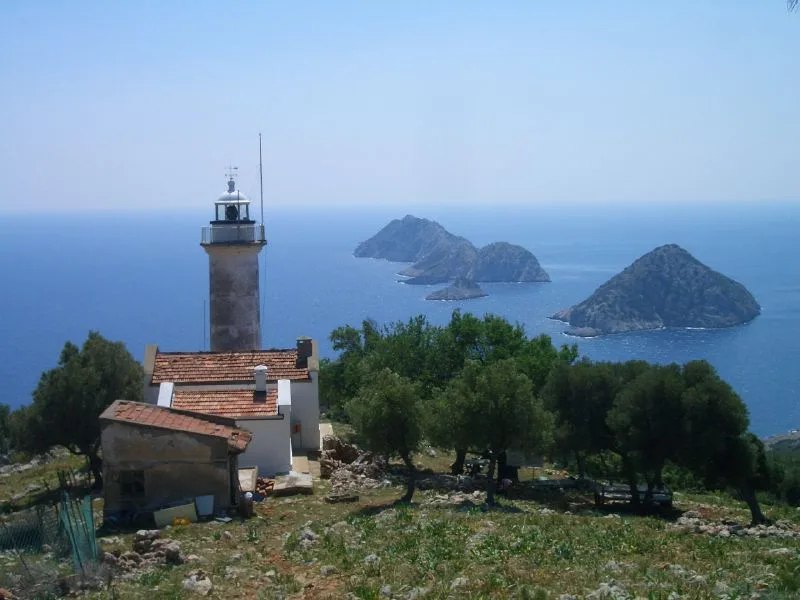
OpenStreetMap — Lycian Way — Likya Yolu · OpenStreetMap contributors
OpenStreetMap relation 51855; ODbL representation that may be segmented or branched, distinct from an official navigation file.
Race feedback
Have you already run this race?
Share your feedback: conditions, course marking, atmosphere, difficulty or tips for future participants.