
Hiking · France
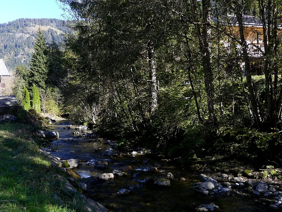
Les bords de Dranse de Pré la Joux à Abondance
17kmOfficial distance
+244mOfficial elevation gain

Loading route and elevation profile…
From Pré la Joux to Le Linga
The file starts upstream of Châtel and descends the valley floor through Très-les-Pierres and Le Linga. Le Linga offers an intermediate starting point for a shorter walk.
Finishing in Abondance
Continue beyond La Chapelle-d’Abondance to the village of Abondance, where the track ends. Arrange your return to Pré la Joux separately. Cyclists also use the valley path.
Notable places
At a glance
- Start
- Châtel, Chablais, Haute-Savoie
- Finish
- Village d’Abondance
Plan your hike
Bus access or return
Check services at Pré la Joux and Abondance for your chosen date. Routes and timetables vary with the season.
Office de tourisme de Châtel ↗OSM track · OpenStreetMap
Mapped by OpenStreetMap contributors. Heights calculated from Copernicus GLO-30.
Race feedback
Have you already run this race?
Share your feedback: conditions, course marking, atmosphere, difficulty or tips for future participants.