
Hiking · France
Lac de Darbon par les cols de Bise, de Pavis et de Floray

Loading route and elevation profile…
From Bise to the lake
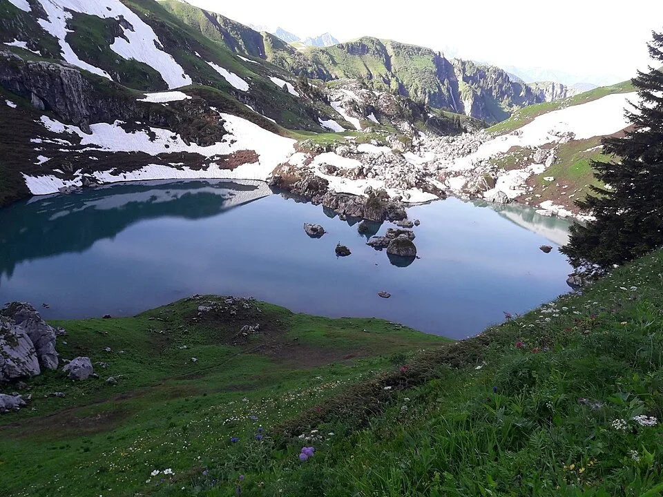
From the refuge follow La Salle, then climb to Col de Bise. On the Neuteu side, head for Col de Pavis and descend to Lac de Darbon at 1,813 m.
Over Col de Floray
After the lake there is one more pass to climb. A steep descent leads back to La Salle. Walk the shared approach in reverse to reach the chalets.
Notable places
At a glance
- Start
- Chalets de Bise, accès par Vacheresse, Chablais, Haute-Savoie
- Finish
- Chalets de Bise, accès par Vacheresse, Chablais, Haute-Savoie
Metrics calculated from the Trailboard track
Plan your hike
Getting to the start
Approach the Bise chalets by road from Vacheresse. From the refuge follow signs for Col de Pavis. The tourist office asks walkers to keep out of the lake.
Office de tourisme Léman Mountains Explore ↗Plan your hike
The tourist office allows 3 h 30 for 6.7 km. The file measures 6.7 km including both directions on the shared approach.
Official sources and resources
OpenStreetMap · 13338113 · © OpenStreetMap contributors · ODbL 1.0
The approach between the Bise chalets and La Salle is included in both directions. The loop takes in the Bise, Pavis and Floray passes in that order.
Race feedback
Have you already run this race?
Share your feedback: conditions, course marking, atmosphere, difficulty or tips for future participants.