
Hiking · France
Lac de Damoz des Moulins par les Fours et l’alpage de Brion

Loading route and elevation profile…
Find the start on the Aulps valley side
The tourist office gives the Mont d’Évian car park above Saint-Jean-d’Aulps as the starting point. The OpenStreetMap track starts a little further on, about 120 m in a straight line from the start of the tourist office track. Locate the car park on the map before following the GPX. The loop around Mont Brion from Abondance approaches the same area from another valley.
From Les Fours to the lake
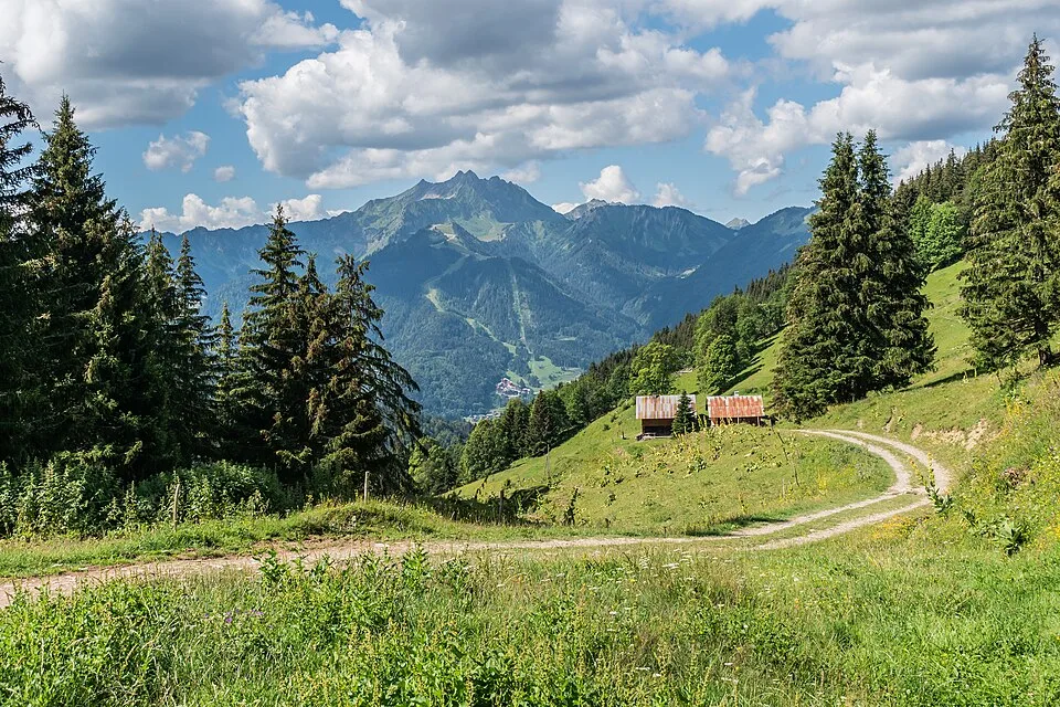
Follow the forest track to Les Fours. Beyond the chalets, leave the main track and climb towards the Damoz des Moulins pasture. At the chalets in the pasture, take the branch to the lake, which lies in a hollow below the Pic de la Corne.
Return via Crève-Cœur and Brion
Continue from the lake to the Col de Crève-Cœur. Head towards the Brion pasture, then descend via Plan de Parchets and Lesse. Allow time for both the pass and the full descent. The tourist office estimates six hours and 777 m of ascent for its 9.8 km circuit. The OpenStreetMap route shown here is 9.1 km long.
Notable places
At a glance
- Start
- Saint-Jean-d'Aulps, Chablais, Haute-Savoie
Metrics calculated from the Trailboard track
Tracé de la randonnée sur OpenStreetMap · Contributeurs OpenStreetMap
OpenStreetMap geometry ordered from the starting point described here. © OpenStreetMap contributors, ODbL 1.0.
Race feedback
Have you already run this race?
Share your feedback: conditions, course marking, atmosphere, difficulty or tips for future participants.