
Long-distance hiking · South Korea / Jeju Olle
Jeju Olle Trail
53kmTrack distance
+1,035mTrack elevation gain
Loading route and elevation profile…
Official documentation
The map geometry is meant for exploration. Check with the reference body and the up-to-date local conditions before using the route.
Notable places
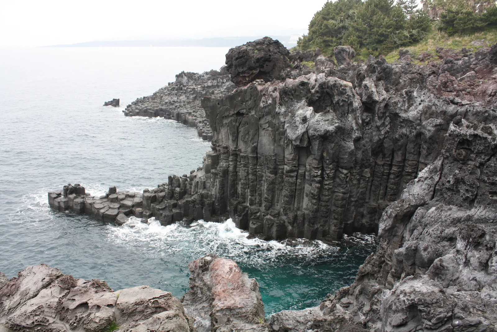
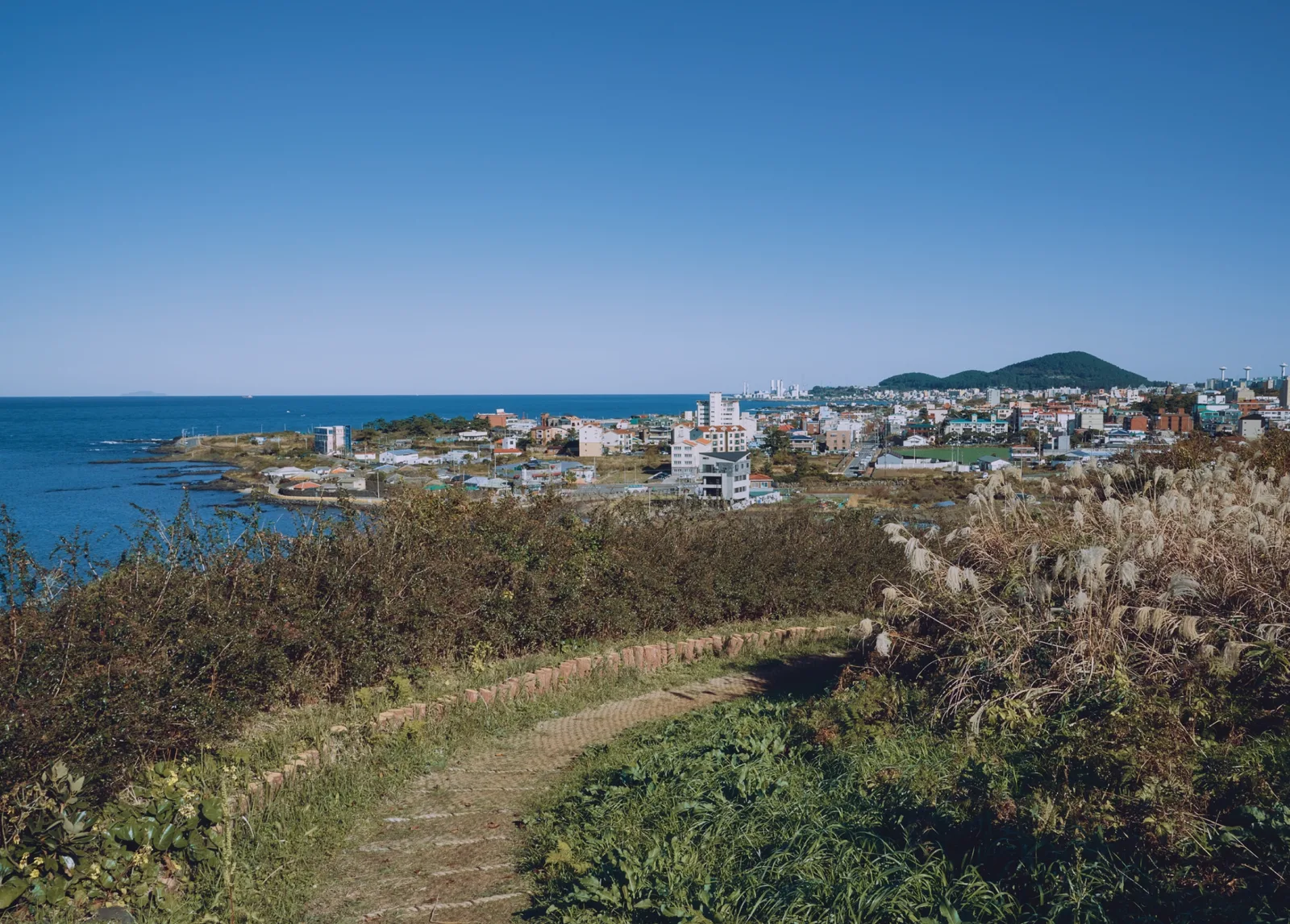
At a glance
- Start
- Île de Jeju, Corée du Sud
Metrics calculated from the Trailboard track
OpenStreetMap — Jeju Olle Trail · OpenStreetMap contributors
OpenStreetMap relation 9149726; ODbL representation that may be segmented or branched, distinct from an official navigation file.
Race feedback
Have you already run this race?
Share your feedback: conditions, course marking, atmosphere, difficulty or tips for future participants.