📅 September 11, 2026📍 Stade des Perrey, Saint-Nabord, France
Dossier 2026 construit uniquement à partir des sources officielles de l'organisateur.
105 kmDistance
4,677 mElevation
Countdown
9
days ago
Organised by Association Infernal Trail Organisation
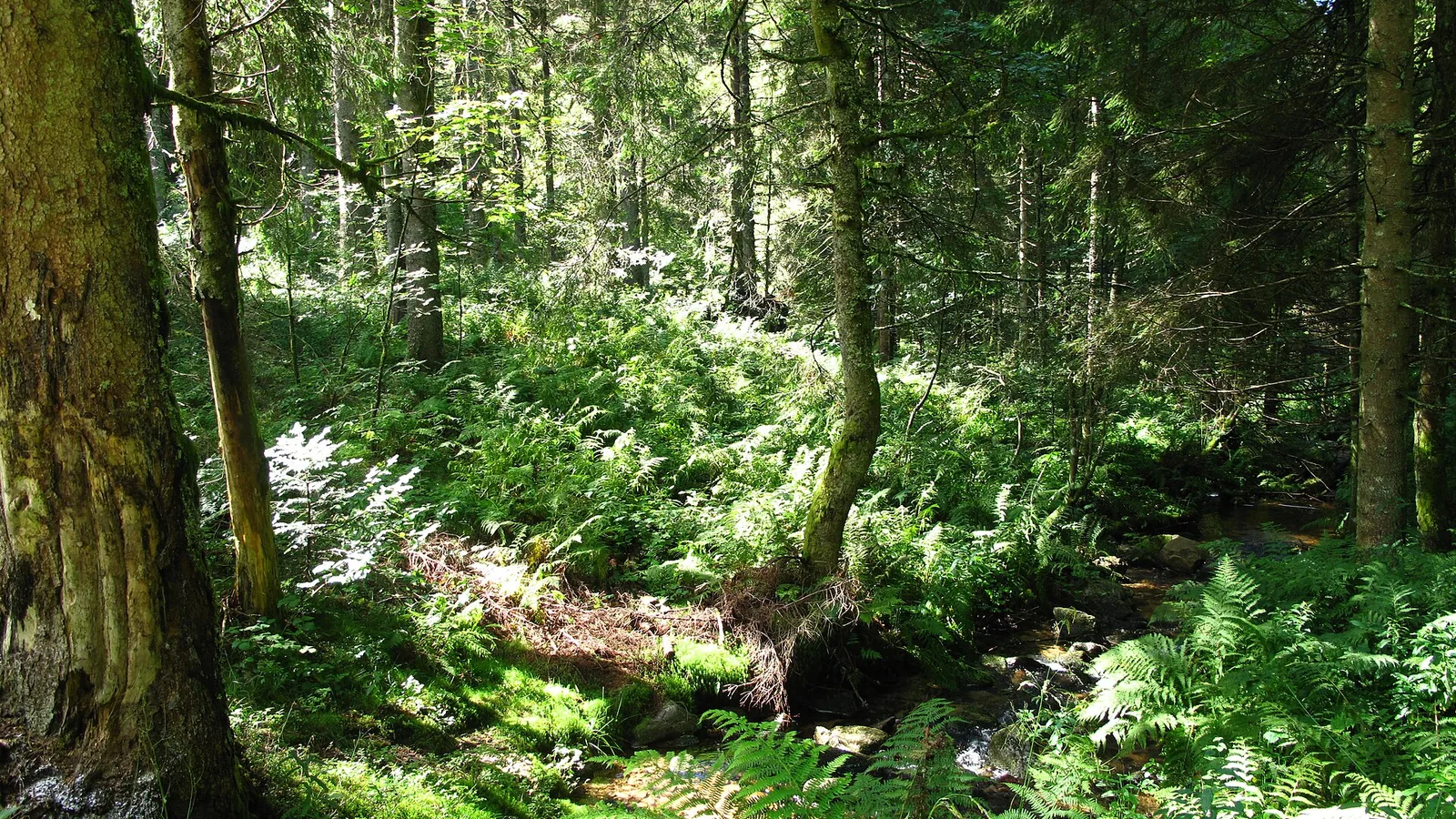
Photo of the area, separate from official race photography.Photo:Tangopaso · Public domain · Image cropped, resized and converted to WebP.
Loading…
Route reference
Prepare the IT 100 2026 route
The IT 100 2026 page brings together published data for this running route.
The route is listed from Stade des Perrey, Saint-Nabord, France to Stade des Perrey, Saint-Nabord, France, with 105.4 km and 4,677 m D+ on the page.
Listed organiser: Association Infernal Trail Organisation.
Start / area
Stade des Perrey, Saint-Nabord, France
Finish
Stade des Perrey, Saint-Nabord, France
Edition
2026
Distance
105.4 km
Elevation gain
4,677 m D+
GPX track and published figures
The linked GPX indicates 103.8 km from the GPX · 4,607 m ascent from the GPX.
Organiser-published figures and values calculated from the GPX remain separate: a track depends on its version and sampling.
Source-page value: 105.4 km; distance calculated from the GPX: 103.8 km.
Source-page value: 4,677 m ascent; ascent calculated from the GPX: 4,607 m.
Documented checkpoints and aid stations
This page lists 7 aid station(s) or life base(s), 7 point(s) with water listed, and 0 checkpoint(s).
Saint-Amé (aller) · km 14.8 — Ravitaillement officiel 2026 ; quantités et produits précis non publiés.
Thiéfosse · km 27.1 — Ravitaillement officiel 2026 ; quantités et produits précis non publiés.
Travexin · km 43.7 — Ravitaillement officiel 2026 ; quantités et produits précis non publiés.
Cornimont · km 56.5 — Ravitaillement officiel 2026 ; quantités et produits précis non publiés.
Col des Hayes · km 64.8 — Ravitaillement officiel 2026 ; quantités et produits précis non publiés.
Le Haut du Tôt · km 79.5 — Ravitaillement officiel 2026 ; quantités et produits précis non publiés.
Saint-Amé (retour) · km 92.6 — Ravitaillement officiel 2026 ; quantités et produits précis non publiés.
Sources reviewed
This page shows 4 official source(s) and 4 source(s) with a recorded review date. Updates from the organiser always take precedence.
Latest recorded check: 15 September 2026.
Frequently asked questions
Is the IT 100 2026 GPX available?
Yes. The track and its profile can be viewed here, and the file is available as a free download from this page.
Do these details replace the organiser's instructions?
No. This page makes sources easier to consult and separates published data from GPX calculations. Check the latest official instructions before the start.
Dossier 2026 construit uniquement à partir des sources officielles de l'organisateur.
Race-day instructions
Respecter les barrières comme heures limites de sortie des postes.
Vérifier la dernière version du roadbook et les éventuelles adaptations de sécurité avant le départ.
Differences and information still uncertain
These items are shown explicitly so an approximation is never presented as official data.
Les pages de course contiennent encore un avertissement indiquant que les parcours et tableaux peuvent évoluer ; ce dossier reprend le roadbook et les GPX officiels 2026 disponibles à la date de vérification.
Les métriques recalculées par Trace de Trail ou Trailboard peuvent différer des valeurs éditoriales du roadbook ; elles ne les remplacent pas.
Les produits exacts et quantités des ravitaillements ne sont pas publiés.
RacePlan n'est la source d'aucune valeur importée.
Check the information
Sources and provenance
These links point to the documents used. The organiser's instructions remain authoritative if they change.