
Long-distance hiking · Israel
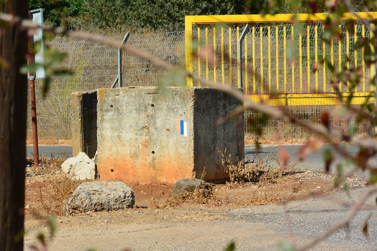
Israel National Trail
1,075kmTrack distance
+28,479mTrack elevation gain
Loading route and elevation profile…
Listing status
The documentation identifies the Israel National Trail and its manager. Trailboard does not import commercial mapping and does not substitute a community track for an official publication.
Notable places
SPNI — carte officielle de l’Israel National Trail · Society for the Protection of Nature in Israel
56 sections published in the official ArcGIS map, kept with their sub-segments.
Race feedback
Have you already run this race?
Share your feedback: conditions, course marking, atmosphere, difficulty or tips for future participants.