
Long-distance hiking · France
GR® R2 — Traversée de l’île de La Réunion
Loading route and elevation profile…
Crossing a mountain island
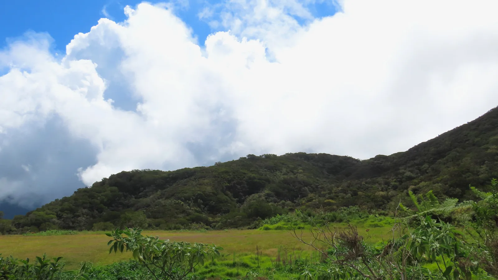
The GR® R2 links the great interior landscapes of La Réunion in a crossing announced as lasting several days. It gives access to the island's diversity: volcanic terrain, forests, ravines, plains and viewpoints over the cirques.
The weather often decides
Routes on La Réunion can be strongly affected by rain, wind and cyclone alerts. Check the daily information from the park and Météo-France before fixing a stage.

Notable places
Plan your hike
Check alerts, trail closures and weather conditions before every start.
Official sources and resources
GR R2 — tracé KML GR-Infos · GR-Infos
Track published by the indicated source. Its coverage of the full GR and how up to date it is remain to be checked with the managing body. The measurements of this track are not attributed to the whole GR.
Race feedback
Have you already run this race?
Share your feedback: conditions, course marking, atmosphere, difficulty or tips for future participants.