
Long-distance hiking · New Caledonia
GR NC1 complet
GR NC1 complet is Province Sud’s official long-distance hike between Baie de la Somme in Prony and Dumbéa Valley. Its 126.7 km cross the Grand Sud, the edges of Lake Yaté, the Rivière Bleue Provincial Park and the high ground above Dumbéa. The official page rates it very difficult and presents seven main stages with several options in the heart of the range.
- Official distance
- 127 km
- Official elevation gain
- 1,500 m D+
Track source: Province Sud
GPX
Discover the route
Loading route and elevation profile…
Notable places
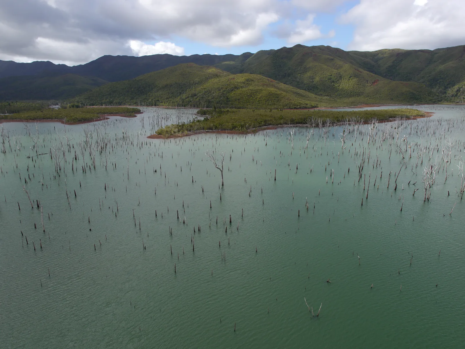
A traverse from the Grand Sud to Dumbéa
The route starts at Baie de la Somme in Prony and gradually reaches the Plaine des Lacs highlands, former mining landscapes, ridges and humid forests of southern New Caledonia. It then enters the Rivière Bleue area before finishing in Dumbéa Valley.
Province Sud lists 126.7 km, 1,500 m ascent, 1,500 m descent and 34 h 41 for the whole route. These are the official figures displayed on the page; Trailboard does not replace them with a calculation from a GPX containing variants and separate segments.
Published stages and variants
1. Prony to Refuge des Néocallitropsis: an introduction to the Grand Sud’s mining and forest history, via Petite Rivière Bleue de Prony and the CR 7 road.
2. Néocallitropsis to Netcha: the Alain Grouazel ridge trail follows the divide between Plaine des Lacs and the creek Pernod valley, with Pic du Pin and the ocean as landscape references.
3. Netcha to Ouénarou: the route crosses creek Pernod and Bois du Sud before reaching Refuge de Ouénarou.
4. From Ouénarou, Province Sud publishes three options: 4A via Aire de Bon Secours and Refuge des Muletiers; 4B via the ridges and Pont Germain to Tristaniopsis; 4C via Rivière Bleue to Tristaniopsis. A bivouac at Pont Germain is indicated as possible on the ridge option.
5. Muletiers to Tristaniopsis: the track goes around the Rivière Blanche marsh and through the Forêt du Mois de Mai.
6. Tristaniopsis to Mine Soleil: a Haute Rivière Bleue stage via Corne du Diable and Camp des Fougères.
7. Mine Soleil to Dumbéa Valley: the route reaches Creek du Campement des Mineurs, then Mont Poudéhoume, before descending to Dumbéa.
Reading the map without inventing a route
The GPX downloaded from the Province Sud page is kept exactly as published. It includes numerous segments and the options around Rivière Bleue; Trailboard displays them without drawing fictional links between distinct endpoints.
The file does not provide usable elevation data. Trailboard automatically derives an indicative profile for the sections from the Copernicus DEM GLO-30 terrain model; it is not a continuous traverse. The distance and elevation figures on the page remain Province Sud’s official data.
Preparing a self-supported journey
The source recommends allowing one walking day per stage. The route refuges have no electrical supply and cannot be reserved: accommodation is on a first-come, first-served basis.
Entry and overnight stays in Rivière Bleue Provincial Park are charged. For the stage towards Dumbéa, the page mentions a free, mandatory summer shuttle to reach Parc Fayard. These arrangements can change: confirm ground conditions and access before leaving.
At a glance
- Start
- Baie de la Somme, Prony, Mont-Dore, Nouvelle-Calédonie
- Finish
- Vallée de Dumbéa, Dumbéa, Nouvelle-Calédonie
Plan your hike
Allow one stage per day and leave margin for weather, variant choices and self-sufficiency between refuges.
Official sources and resourcesDo not rely on electrical outlets in refuges; there is no booking and lodging is first come, first served.
Official sources and resourcesCheck Rivière Bleue Provincial Park entry and overnight conditions, as well as the summer shuttle mentioned for Parc Fayard.
Official sources and resources
Province Sud — GR NC1 complet · Province Sud
Official page and GPX for the published 126.7 km route between Prony and Dumbéa Valley. The file contains the segments and variants provided by Province Sud.