
Long-distance hiking · Spain
GR® 113 — Camino Natural del Tajo
The GR 113 follows the Tajo from the Montes Universales to the Portuguese border at Cedillo, passing through Teruel, Guadalajara, Madrid, Toledo and Cáceres. It is part of the national Caminos Naturales network.
- Track distance
- 1,040 km
- Track elevation gain
- +18,944 m
Metrics calculated from the Trailboard track
Loading route and elevation profile…
Notable places
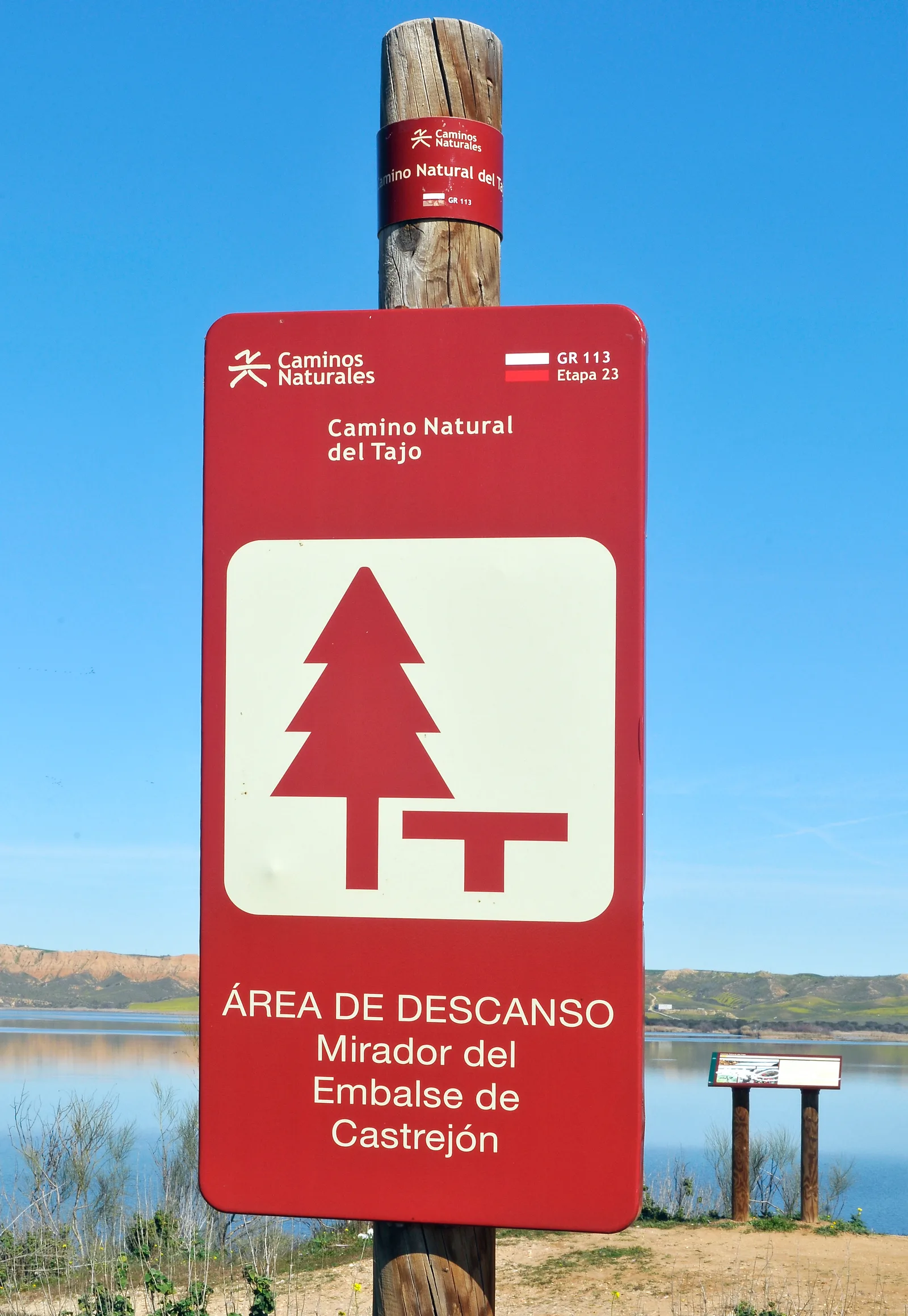
GR 113 - Camino Natural del Tajo por etapas · Ministerio de Agricultura, Pesca y Alimentacion (MAPA)
Complete GPX file published by the Ministry for the Camino Natural del Tajo, approved as GR 113. It keeps the 56 original, discontinuous segments; they are neither joined nor used to calculate an artificial cumulative distance.
Race feedback
Have you already run this race?
Share your feedback: conditions, course marking, atmosphere, difficulty or tips for future participants.