
Long-distance hiking · France
GR® 91 — Traversée du Vercors
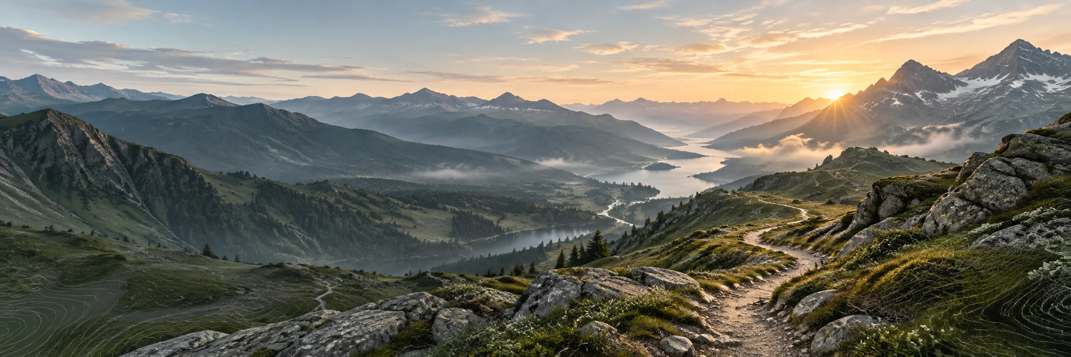
A crossing of plateaus, cliffs and valleys that reveals the scale of the Vercors without reducing the massif to a single panorama.
- Track distance
- 260 km
- Track elevation gain
- +10,726 m
Metrics calculated from the Trailboard track
Loading route and elevation profile…
The massif through its passes
GR® 91 crosses the Vercors and connects to other major routes of the massif. Its landscapes alternate forests, high plateaus, gorges, cliffs and villages, with terrain whose access points change the character of each section profoundly.
A demanding mid-mountain hike
Signage is no substitute for reading the conditions: snow, fog, wind and natural-area regulations can change a plan. The right editorial format is therefore a gateway to park information and updated routes.
Notable places

Plan your hike
Before setting out, check the rules and news of the Vercors Regional Natural Park as well as the FFRandonnée route for your section.
Official sources and resources
GR 91 — tracé KML GR-Infos · GR-Infos
Track published by the indicated source. Its coverage of the full GR and how up to date it is remain to be checked with the managing body. The measurements of this track are not attributed to the whole GR.
Race feedback
Have you already run this race?
Share your feedback: conditions, course marking, atmosphere, difficulty or tips for future participants.