
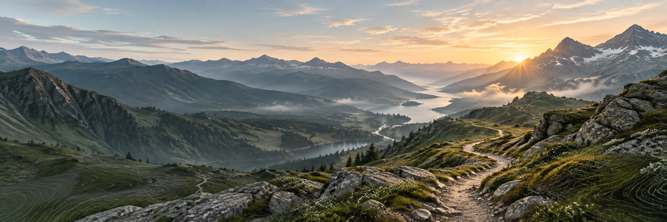
Long-distance hiking · France
GR® 9 — Du Jura à la Méditerranée
From the Haut-Jura to the Gulf of Saint-Tropez, a great traverse of mountain ranges and regional natural parks.
- Track distance
- 969 km
- Track elevation gain
- +39,803 m
Metrics calculated from the Trailboard track
Loading route and elevation profile…
From the Jura forests to the hills of the South
GR® 9 links the Jura to the Méditerranée and crosses in particular the parks of Haut-Jura, Chartreuse, Vercors and Luberon. The FFRandonnée gives a length of 966 km to the Gulf of Saint-Tropez.
The Vercors as a flagship sequence
Around Grenoble, the balconies, gorges and plateaus of the Vercors give the trail a strong character. The FFRandonnée routes notably describe the passage through the north cliff, the Autrans plateau, the Bourne gorges and the Combe-Laval cirque.
Notable places

Plan your hike
The FFRandonnée indicates train stations near the route: check the starting point of your section in the local information.
Official sources and resources
GR 9 — tracé KML GR-Infos · GR-Infos
Track published by the indicated source. Its coverage of the full GR and how up to date it is remain to be checked with the managing body. The measurements of this track are not attributed to the whole GR.
Race feedback
Have you already run this race?
Share your feedback: conditions, course marking, atmosphere, difficulty or tips for future participants.