
Long-distance hiking · France
GR® 70 — Chemin de Stevenson
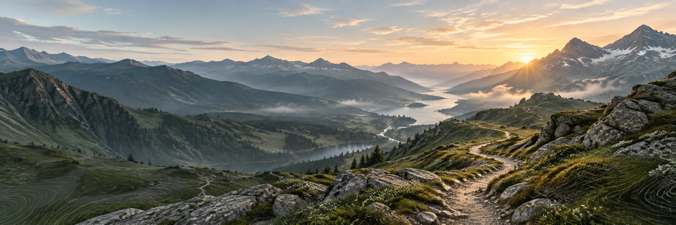
From Le Puy-en-Velay to Alès, a literary walk in the footsteps of Robert Louis Stevenson and Modestine, between the Velay and the Cévennes.
- Track distance
- 268 km
- Track elevation gain
- +7,996 m
Metrics calculated from the Trailboard track
Loading route and elevation profile…
A story you walk
GR® 70 follows the route associated with Voyage avec un âne dans les Cévennes. Over 272 km and generally fourteen stages, the trail links Le Puy-en-Velay to Alès through Haute-Loire, Lozère, Ardèche and Gard.
From the plateaus to the deep Cévennes
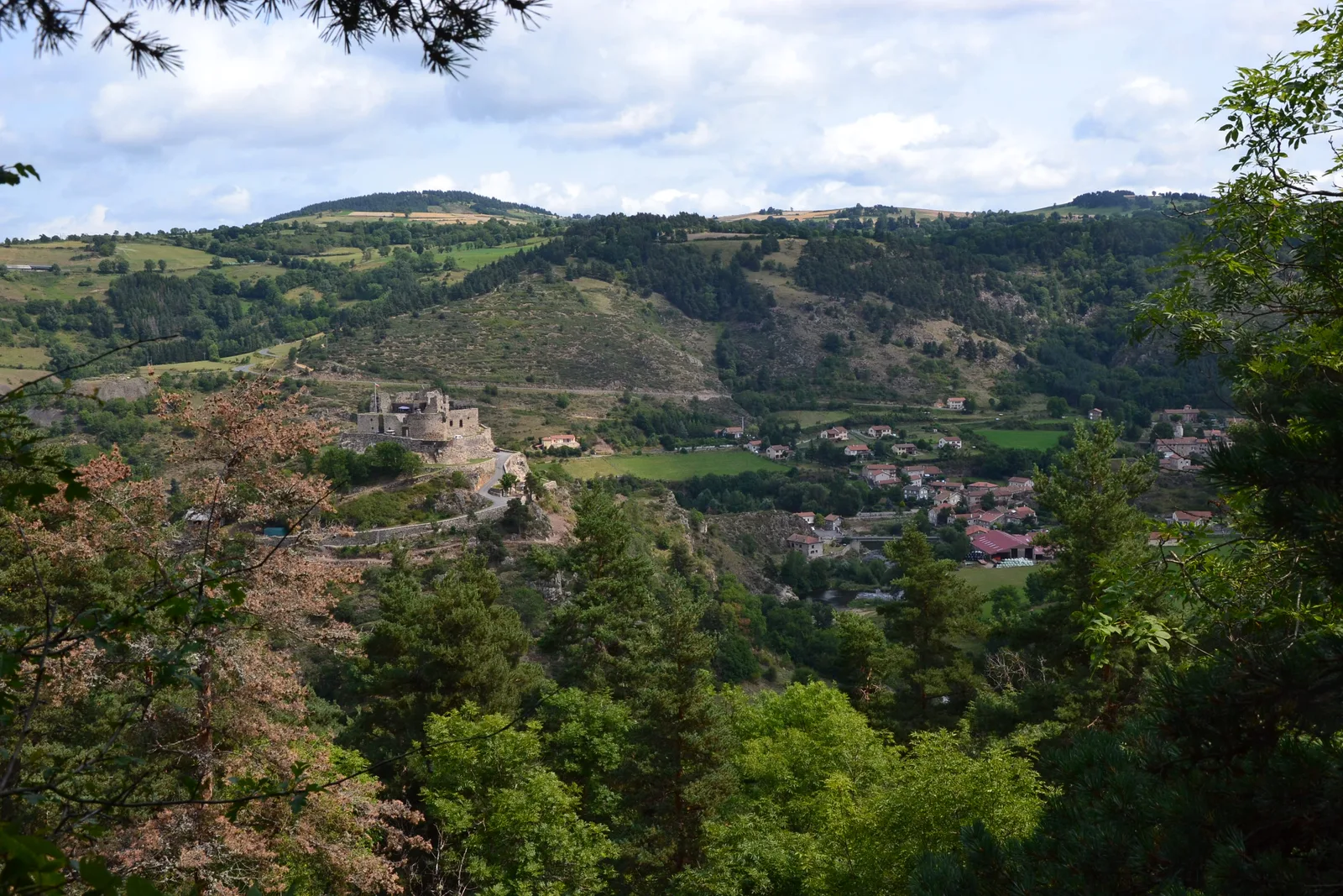
The route crosses the volcanic and granite landscapes of the high country before reaching the Cévennes scenery. This continuity between literature, villages and natural environments makes for a distinctive tourist offer, beyond the anecdote of the pack donkey.

Notable places
Plan your hike
The FFRandonnée generally recommends May to September and refers you to the Chemin de Stevenson association to prepare the route.
Official sources and resources
GR 70 — tracé KML GR-Infos · GR-Infos
Track published by the indicated source. Its coverage of the full GR and how up to date it is remain to be checked with the managing body. The measurements of this track are not attributed to the whole GR.
Race feedback
Have you already run this race?
Share your feedback: conditions, course marking, atmosphere, difficulty or tips for future participants.