
Long-distance hiking · France
GR® 65 — Chemin de Saint-Jacques, voie du Puy
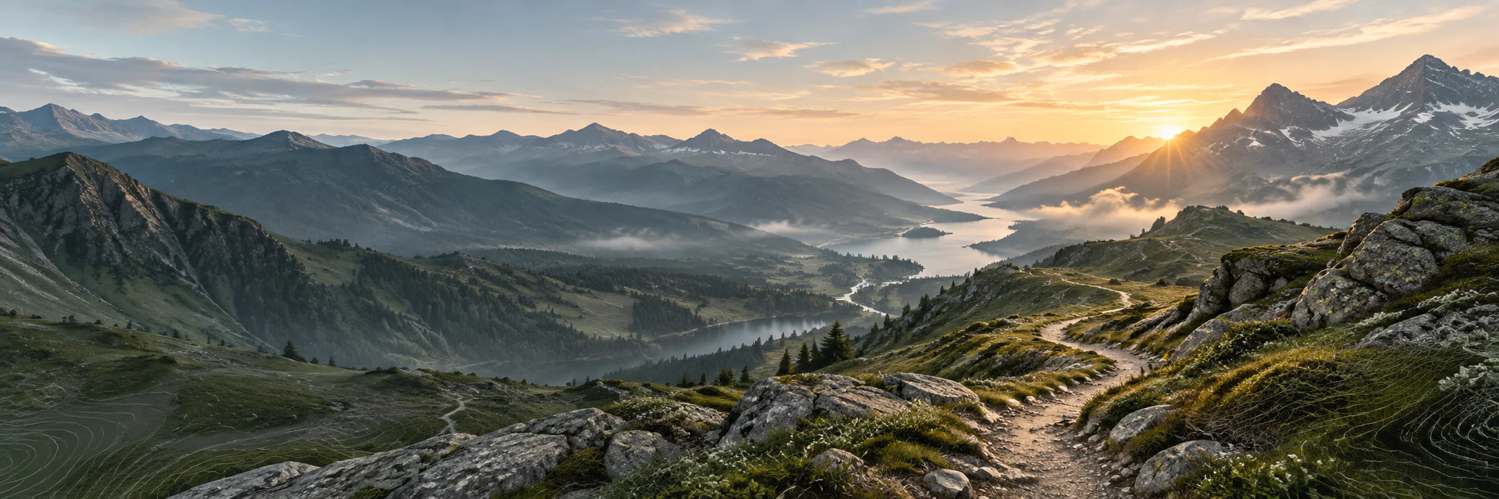
From Le Puy-en-Velay towards the Pyrénées, the voie du Puy combines Camino de Santiago heritage, high plateaus, limestone causses and valleys of the Sud-Ouest.
- Track distance
- 1,139 km
- Track elevation gain
- +26,249 m
Metrics calculated from the Trailboard track
Loading route and elevation profile…
A path of encounters and landscapes
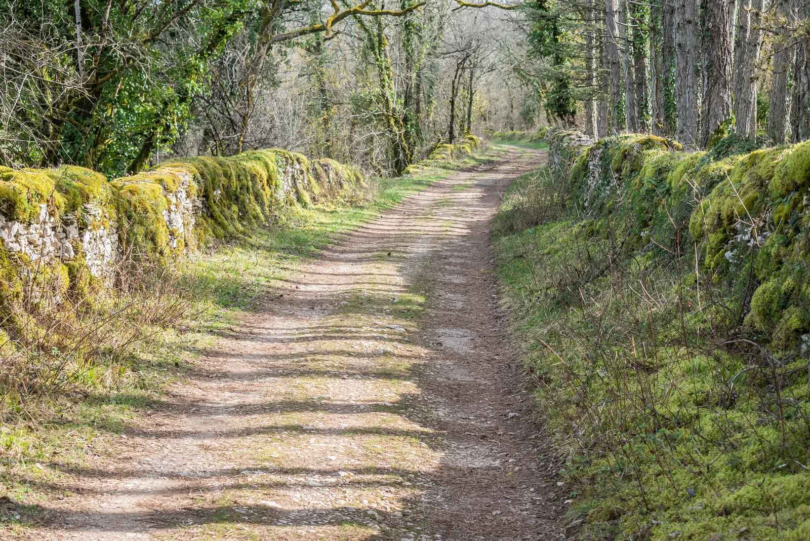
GR® 65 follows the Way of Le Puy towards Saint-Jacques-de-Compostelle. It crosses in particular the Aubrac, the Lot valley, the causses and Gascogne, with stage towns such as Conques, Figeac, Cahors and Moissac.
Preparing without standardising
The trail's fame makes it easier to build a multi-day trip, but every season and every stage has its own realities. The content should point to up-to-date visitor information and never guarantee water, a bed or accommodation without local verification.

Notable places
Plan your hike
The Agence française des chemins de Compostelle gathers resources to prepare the route: confirm services and bookings with local contacts.
Official sources and resources
GR 65 — tracé KML GR-Infos · GR-Infos
Track published by the indicated source. Its coverage of the full GR and how up to date it is remain to be checked with the managing body. The measurements of this track are not attributed to the whole GR.
Race feedback
Have you already run this race?
Share your feedback: conditions, course marking, atmosphere, difficulty or tips for future participants.