
Long-distance hiking · France
GR® 54 — Tour de l’Oisans et des Écrins
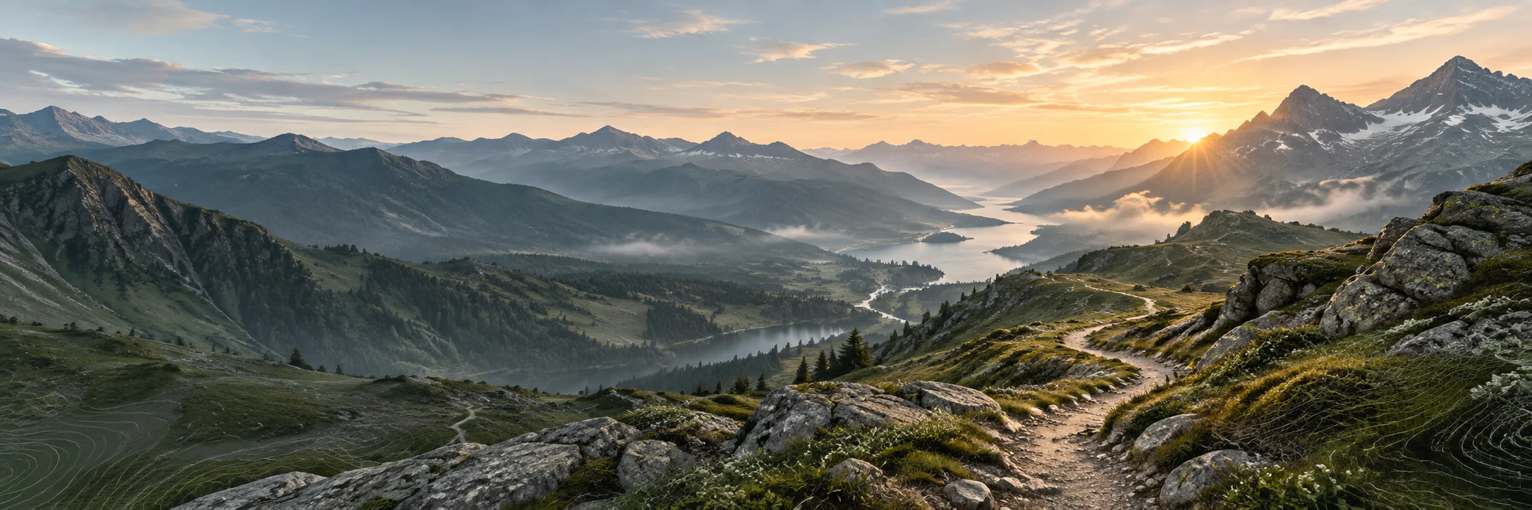
A major alpine loop around the Oisans and the Écrins, made of deep valleys, passes, lakes and mountain villages.
- Track distance
- 183 km
- Track elevation gain
- +11,955 m
Metrics calculated from the Trailboard track
Loading route and elevation profile…
A grand high-mountain tour
GR® 54 forms a loop around the Écrins massif, with Bourg-d’Oisans as its well-known gateway. The FFRandonnée map publishes a 194.81 km route for the tour, which should always be read alongside the terrain and its variants.
From valleys to great passes
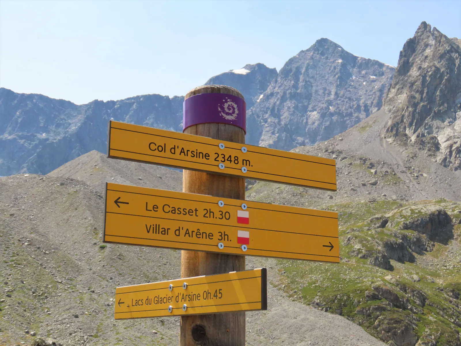
The variety of the tour is one of its strengths: the Romanche valley, Valgaudemar, Vallouise and the Casset area change in atmosphere and access. The route must be presented as an alpine hike that requires proper preparation, without downplaying its high passages.

Notable places
Plan your hike
Check mountain conditions and Parc national des Écrins information before each section; do not assume refuges are open based on an old track.
Official sources and resources
GR 54 — tracé KML GR-Infos · GR-Infos
Track published by the indicated source. Its coverage of the full GR and how up to date it is remain to be checked with the managing body. The measurements of this track are not attributed to the whole GR.
Race feedback
Have you already run this race?
Share your feedback: conditions, course marking, atmosphere, difficulty or tips for future participants.