

Long-distance hiking · France
GR® 34 — Sentier des douaniers
The great Breton coastal path unfolds capes, rias, harbours and beaches in a long journey where the sea is always close by.
- Track distance
- 2,083 km
Metrics calculated from the Trailboard track
Loading route and elevation profile…
Bretagne at the water's edge
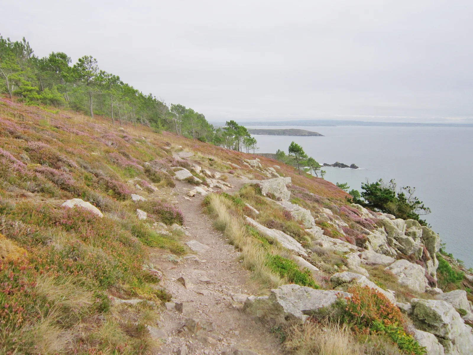
GR® 34 follows the Breton coast through a mosaic of landscapes: the bay of Mont-Saint-Michel, capes, peninsulas, abers and the Gulf of Morbihan. Its many access points allow anything from a week of walking to a few days of discovery.
A living coastline
This trail is particularly sensitive to uses, weather and the local realities of each section. Harbours, marine environments, tides and protection rules are an integral part of discovering the coast.

Notable places
Plan your hike
Use the official Mon GR® routes to select a section; the platform notably offers stages and GPX export for published routes.
Official sources and resources
GR 34 — tracé KML GR-Infos · GR-Infos
Track published by the indicated source. Its coverage of the full GR and how up to date it is remain to be checked with the managing body. The measurements of this track are not attributed to the whole GR.
Race feedback
Have you already run this race?
Share your feedback: conditions, course marking, atmosphere, difficulty or tips for future participants.