
Long-distance hiking · France
GR® 2 — Au fil de la Seine
Loading route and elevation profile…
Reading the river through its landscapes
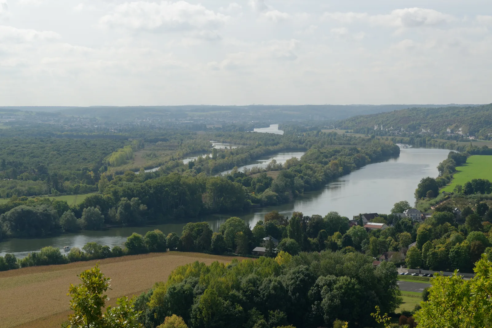
GR® 2 follows the Seine over about 858 km between Dijon and Le Havre, according to the FFRandonnée. It leads from the combes of the Châtillonnais to the Parisian quays, then back to the hillsides and forests of the Norman Seine.
A journey in chapters
Entering via Dijon, Fontainebleau, Paris, Giverny, Rouen or Le Havre lets you build a themed stay. In the wet season, the paths can be muddy: the forecasts and the local condition of the trail take priority over the planned schedule.
Notable places
Plan your hike
The FFRandonnée indicates year-round use, with paths that may be wet or muddy in winter and spring.
Official sources and resources
GR 2 — tracé KML GR-Infos · GR-Infos
Track published by the indicated source. Its coverage of the full GR and how up to date it is remain to be checked with the managing body. The measurements of this track are not attributed to the whole GR.
Race feedback
Have you already run this race?
Share your feedback: conditions, course marking, atmosphere, difficulty or tips for future participants.