

Long-distance hiking · France
GR® 1 — Tour de Paris
GR® 1, commonly presented as the Tour de Paris, is a long-distance hike in the Île-de-France region, to be documented section by section with up-to-date local sources.
- Official distance
- 545 km
- Track elevation gain
- +9,120 m
Metrics calculated from the Trailboard track
Loading route and elevation profile…
A gateway from the Paris region
The FFRandonnée's Mon GR® map is the starting point to use for locating the published sections and their practical information. This listing does not certify any geometry, length or splitting until a detailed official route listing has been identified.
Preparing a section
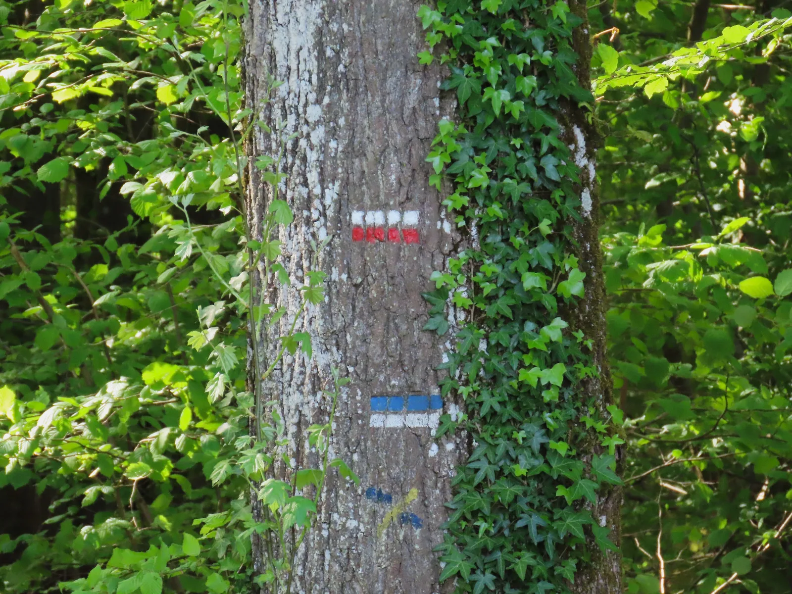
Choose a section shown in the official service, then check its route, waymarking and local access before the start. Ground conditions can change independently of an old travel account.
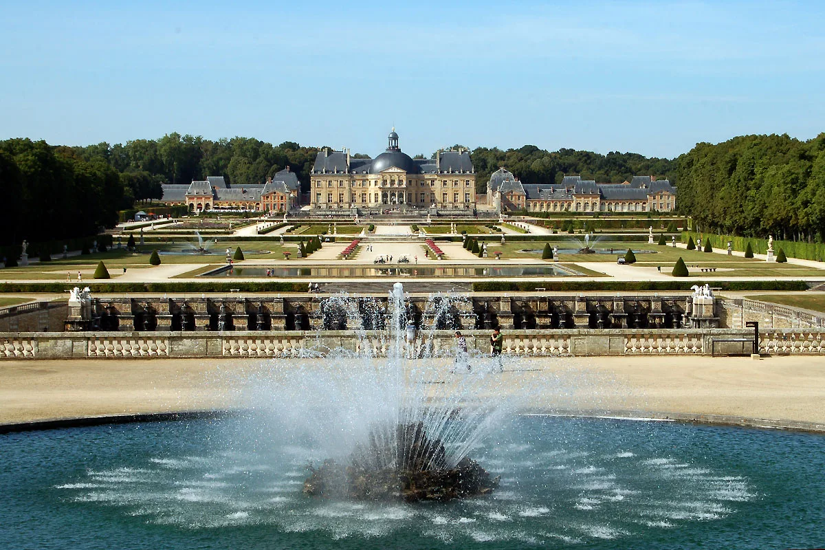
Notable places
Plan your hike
Split the trip into stages starting from train stations, and check the current route on the official map before you set off.
Official sources and resources
GR 1 — tour d'Île-de-France, tracé GR-Infos 2026 · GR-Infos
Complete GR 1 track published as KML by GR-Infos, identified as 2026 in the file; secondary source to be cross-checked with the managing body before distribution.
Race feedback
Have you already run this race?
Share your feedback: conditions, course marking, atmosphere, difficulty or tips for future participants.