April 24, 2027Ramaroa Centre, Queen Elizabeth Park, Kāpiti Coast, Nouvelle-Zélande
The six hubs are the only drop bag points; the rules allow up to three pacers, from the Skyline, Makara Peak and Rugby League Park hubs. Recheck the edition being run with the organiser.
Prepare the Faultline Ultra 2027 — 161 km Insanity route
The Faultline Ultra 2027 — 161 km Insanity page brings together published data for this running route.
The route is listed from Ramaroa Centre, Queen Elizabeth Park, Kāpiti Coast, Nouvelle-Zélande to Odlins Plaza, Wellington, Nouvelle-Zélande, with 161.4 km and 4,717 m D+ on the page.
Ramaroa Centre, Queen Elizabeth Park, Kāpiti Coast, Nouvelle-Zélande
Finish
Odlins Plaza, Wellington, Nouvelle-Zélande
Edition
2027
Distance
161.4 km
Elevation gain
4,717 m D+
GPX track and calculated values
Calculated values for this track: 161.4 km of distance calculated from the GPX track · 5,950 m ascent calculated from GPX elevations.
These track measurements remain separate from the organiser's figures and depend on the GPX version and sampling.
Source-page value: 4,717 m ascent; ascent calculated from GPX elevations: 5,950 m.
Documented checkpoints and aid stations
Aid stations or life bases: 11 · listed water points: 11 · checkpoints: 6.
Top of Cambells Mill Road · km 8.5
Top of Pram Track · km 16.5
Tulsa Park — Totora Park · km 34
Dry Creek — Belmont Regional Park · km 47.5
Top of Hill Road · km 56.5
The Woolshed · km 63.5
End Takapu Road, Tawa · km 73.5
Bishop Viard College · km 83
Spicers Forest · km 94
Skyline, Ohariu Valley Road · km 100.5
Makara Road Saddle · km 116.5
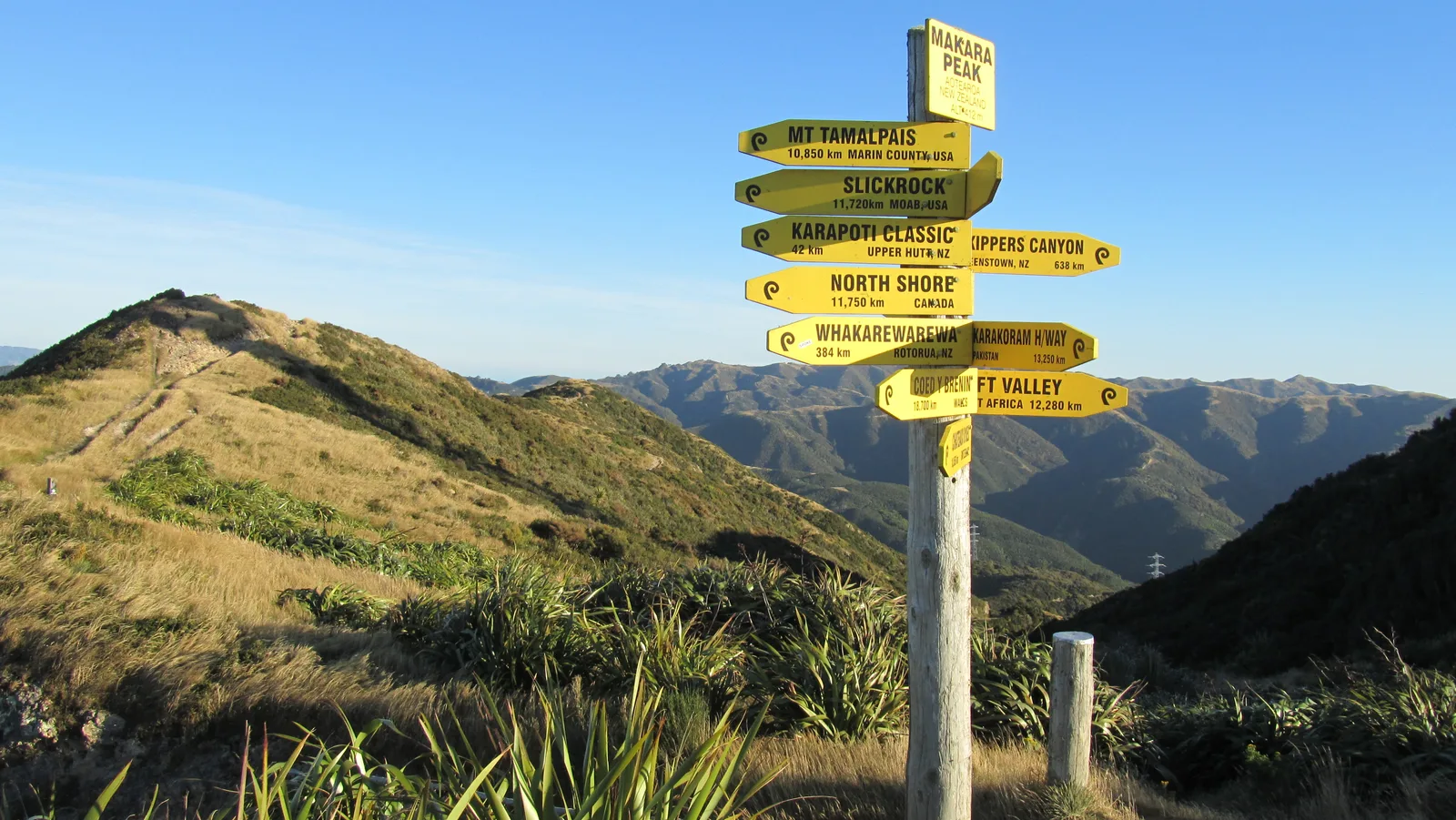
Makara Peak Summit · km 120
Makara Peak Mountain Bike Park · km 130
Aro Valley · km 144
Rugby League Park · km 149
Island Bay Scout Hall · km 150.5
Alexandra Road · km 156
Sources reviewed
Official sources: 1 · sources with a recorded review date: 1. Updates from the organiser always take precedence.
Latest recorded check: 17 September 2026.
Frequently asked questions
Is the Faultline Ultra 2027 — 161 km Insanity GPX available?
Yes. The track and its profile can be viewed here, and the file is available as a free download from this page.
Do these details replace the organiser's instructions?
No. This page makes sources easier to consult and separates published data from GPX calculations. Check the latest official instructions before the start.
These items are shown explicitly so an approximation is never presented as official data.
The officially published GPX is named 2026 while the race page consulted shows the 2027 edition; it is kept as the latest accessible organiser track, with no guarantee that the 2027 route will be identical.
The GPX calculates 161.6 km and about 6,549 m D+, which differ from the organiser's figures; the figures displayed therefore remain the organiser's.
Check the information
Sources and provenance
These links point to the documents used. The organiser's instructions remain authoritative if they change.

Race feedback
Have you already run this race?
Share your feedback: conditions, course marking, atmosphere, difficulty or tips for future participants.