
Hiking · France
De Bise à Ubine

Loading route and elevation profile…
From Bise to Ubine
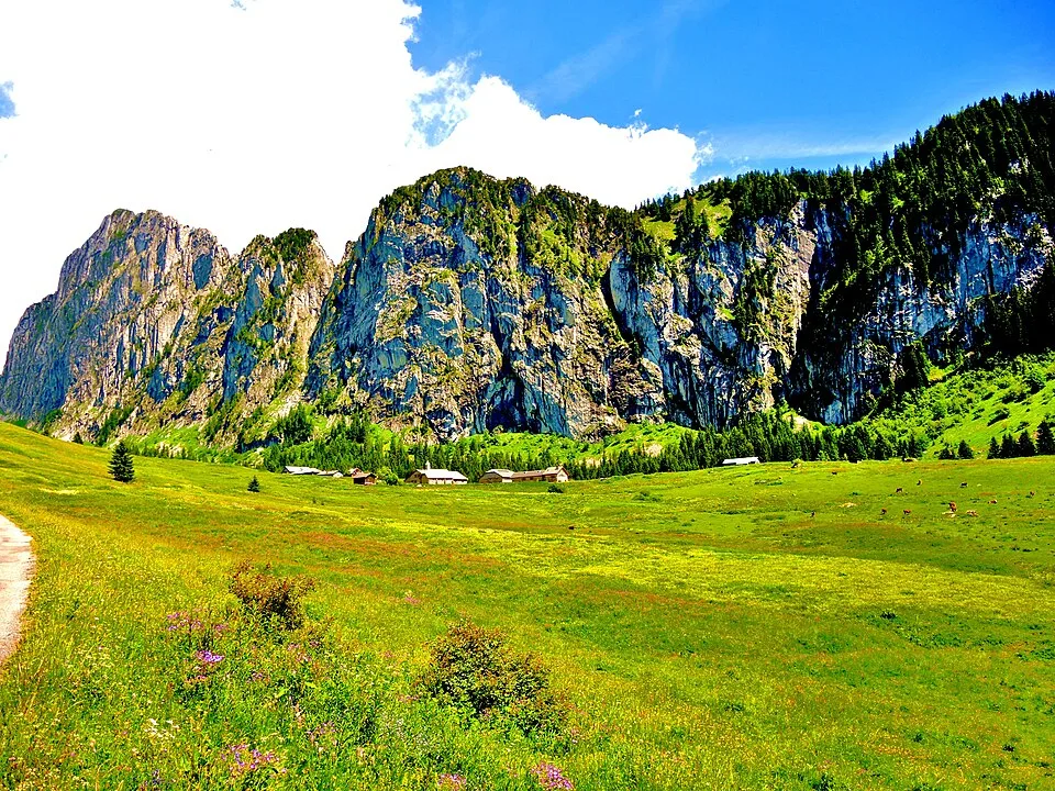
Leave the Bise car park towards Lac de Fontaine. The route first loses height, then climbs through the woods into the pasture around Ubine’s refuge and chapel.
Back over Pas de la Bosse
At Ubine, take the Col d’Ubine path and continue past the chalets of Mens. After the second climb to Pas de la Bosse, join the GR® 5 for the descent to Bise.
Notable places
At a glance
- Start
- Alpage de Bise, accès par Vacheresse, Chablais, Haute-Savoie
- Finish
- Alpage de Bise, accès par Vacheresse, Chablais, Haute-Savoie
Plan your hike
Getting to the start
Drive from Vacheresse through Le Villard and La Revenette to the Bise car park. Follow the green lettering on the beige departmental signposts.
Office de tourisme Léman Mountains Explore ↗Plan your hike
The tourist office allows four hours for the 10.7 km circuit, with 772 m of ascent. The two high crossings come after the initial descent.
Official sources and resources
OpenStreetMap · 13276683 · © OpenStreetMap contributors · ODbL 1.0
The loop starts at the Bise car park towards Lac de Fontaine, then crosses Col d’Ubine before Pas de la Bosse.
Race feedback
Have you already run this race?
Share your feedback: conditions, course marking, atmosphere, difficulty or tips for future participants.