
Long-distance hiking · France / CV-VAL-ARGENT
Tour du Val d’Argent

Loading route and elevation profile…
A complete tour rather than a short excursion
The tourist office rates route no.19 as expert. Its character comes from the format: plan a long loop, choose an overnight stop and continue the following day, rather than treating it as a collection of short walks.
Views change with the slopes
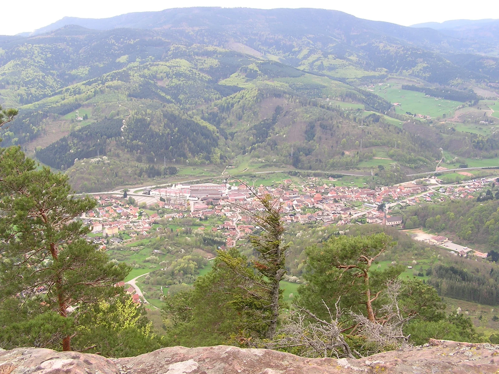
The tourist office highlights views over the Val d’Argent, neighbouring valleys and the Alsace plain. Allow time to stop and enjoy them: an overly tight schedule would push the main appeal of the tour into the background.
Two access points, one loop
Lièpvre and Col de Sainte-Marie are the suggested starts. The selected GPX begins at Lièpvre. Starting at the col is another way to organise the same loop; adjust stages and return arrangements accordingly.
Build the two walking days
The published two-day duration does not require an overnight stop at exactly half the distance. Confirm accommodation first and measure its link to the track. Keep a suitable return margin on day two, even if the first day went quickly.
At a glance
- Map cited by the leaflet
- IGN 3718 OT, Sélestat–Col du Bonhomme–Sainte-Marie-aux-Mines
- Start
- Lièpvre
- Finish
- Lièpvre
Plan your hike
Choose an overnight stop first
The tourist office recommends two days. Arrange accommodation, then check each day’s distance and any access links to your lodging.
Office de Tourisme du Val d’Argent · 2026-11-02 ↗Keep a consistent start and return
Choose Lièpvre or Col de Sainte-Marie when planning, then align the loop’s start, finish and daily stages.
Office de Tourisme du Val d’Argent · 2026-11-02 ↗Review the accumulated climbing
Consider the tour’s total ascent as well as its distance. Use the profile to distribute climbing between the two days.
Office de Tourisme du Val d’Argent · 2026-11-02 ↗Plan your hike
The OSM GPX starts and finishes at the same point in Lièpvre; no road transfer is included.
Official sources and resourcesUse the tourist office’s PDF to plan, then confirm any accommodation or services for your dates.
Official sources and resources
OpenStreetMap — relation 18482686 · © OpenStreetMap contributors · ODbL
OSM Tour du Val d’Argent loop exported through magOSM, starting and finishing in Lièpvre.
Race feedback
Have you already run this race?
Share your feedback: conditions, course marking, atmosphere, difficulty or tips for future participants.