
Long-distance hiking · France / CV-LA-BRESSE
Tour de La Bresse

Loading route and elevation profile…
One loop, four sectors
The published sequence links Le Bas de La Bresse with Col de Grosse Pierre, the ridges, Col de Bramont and the return to Le Bas. This gives the journey a structure: plan individual days rather than relying on total distance alone.
The ridge section
The middle of the journey reaches the Route des Crêtes. The route listing puts its highest point around 1360 m. Use the profile to understand the climb and what remains afterwards: reaching the high ground does not finish the loop.
An overnight stop is not always on the route
The tourist office’s accommodation document does not list lodging at the Col de Bramont finish. It describes a descent to Haut des Bluches followed by a climb to Col de la Vierge to rejoin the tour. Add those links to the relevant days.
A town start and a loop to close
The published start is near Chemin du Frétuz in central La Bresse. Use it to plan accommodation links and close the loop. Another access can be used if you adjust the stage sequence and return.
Plan your own pace
The tourist office documents a four-day itinerary. Build your chosen duration around available overnight stops and their access links. Addresses in the document help plan the trip; confirm opening and availability directly.
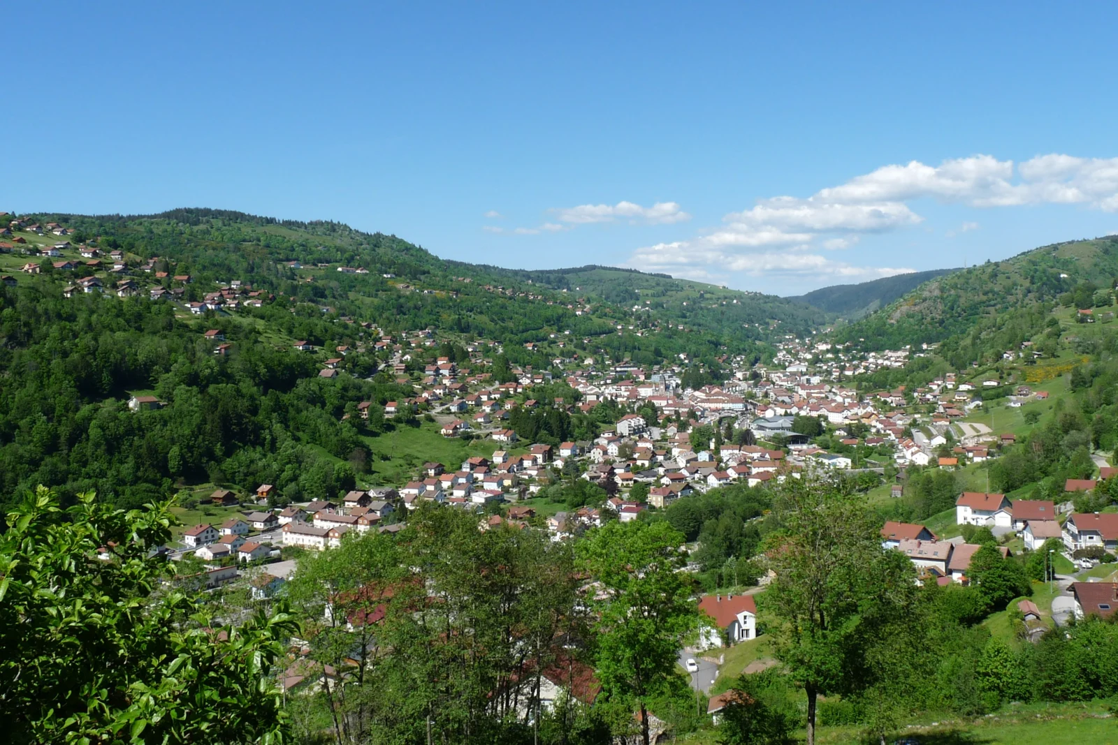
At a glance
- Published difficulty
- Difficult
- Suggested structure
- 4 sectors; can be walked over 4 days
- Published start
- Chemin du Frétuz, central La Bresse
- Published maximum altitude
- 1360 m
- Published minimum altitude
- 598 m
- Start
- Chemin du Frétuz, La Bresse
- Finish
- Chemin du Frétuz, La Bresse
Metrics calculated from the Trailboard track
Plan your hike
Choose overnight stops first
Place available accommodation, then check how it connects to the main route. The official document lists sectors without guaranteeing lodging at every sector finish.
Office de Tourisme de La Bresse Hautes Vosges — hébergement et restauration · 2026-11-02 ↗Include the Bramont links
For Haut des Bluches, the document gives a 4 km descent from Bramont and a 3 km climb towards Col de la Vierge. Keep them separate from the tour’s published 47 km.
Office de Tourisme de La Bresse Hautes Vosges — hébergement et restauration · 2026-11-02 ↗Match your start and track
Use central La Bresse if following the tourist office’s presentation. For another access, align GPX order, parking and daily stages.
Office de Tourisme de La Bresse Hautes Vosges via Cirkwi · 2026-11-02 ↗Plan your hike
The four sectors are Le Bas–Col de Grosse Pierre; Col de Grosse Pierre–Route des Crêtes; Route des Crêtes–Col de Bramont; Col de Bramont–Le Bas.
Official sources and resourcesThe official accommodation list mentions work at the Brabant restaurant in 2025. Check its current situation rather than assuming permanent closure.
Official sources and resources
OpenStreetMap — relation 16027972 · © OpenStreetMap contributors · ODbL
OSM Tour de La Bresse loop exported by magOSM. The original file’s first point differs from the town-centre start published by the tourist office.
Race feedback
Have you already run this race?
Share your feedback: conditions, course marking, atmosphere, difficulty or tips for future participants.