Long-distance hiking · Canada
Bruce Trail
Bruce Trail with an attributed OpenStreetMap map representation, kept in segments and not presented as an official GPX.
- Track distance
- 873 km
- Track elevation gain
- +20,268 m
Metrics calculated from the Trailboard track
Loading route and elevation profile…
Notable places
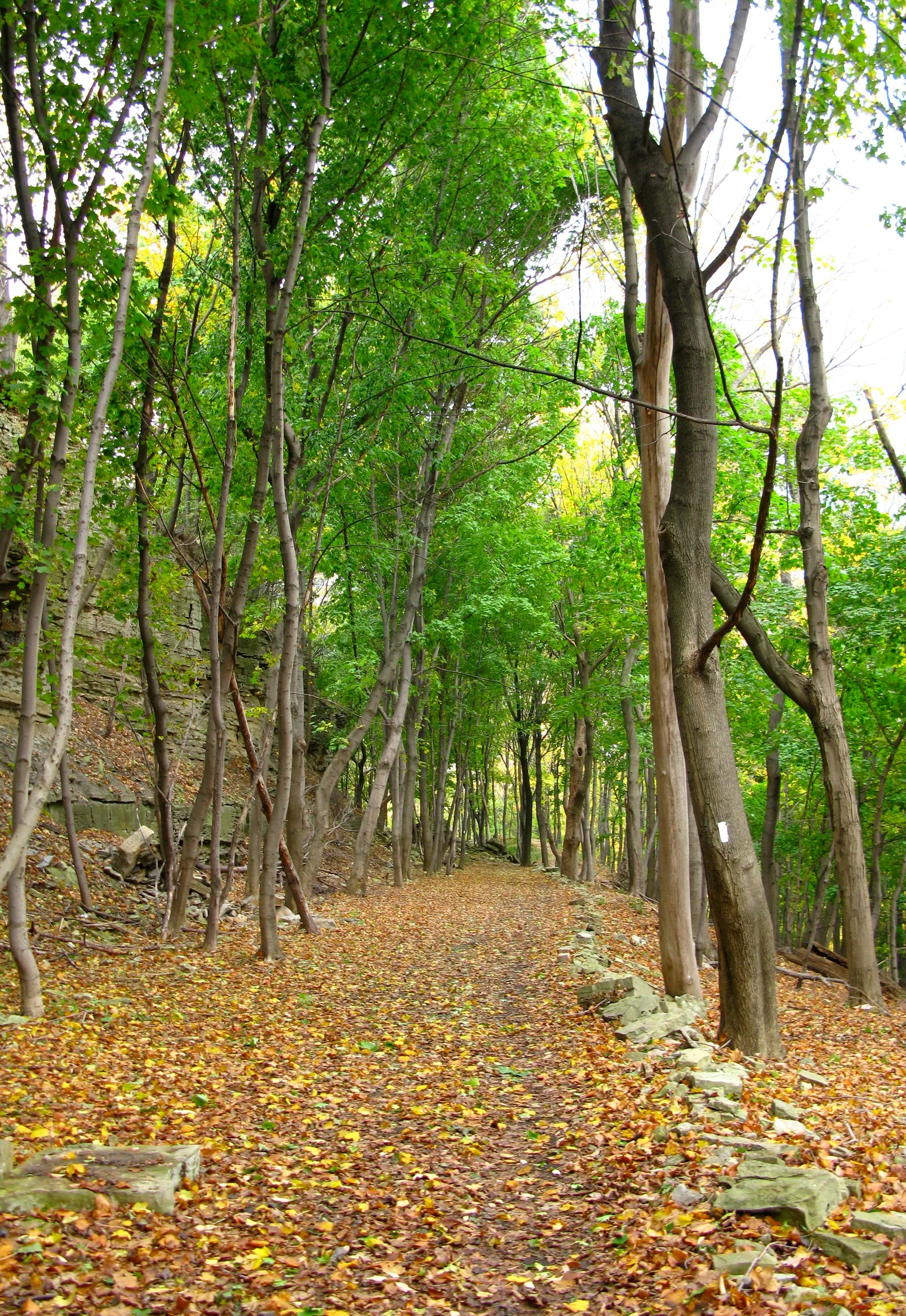
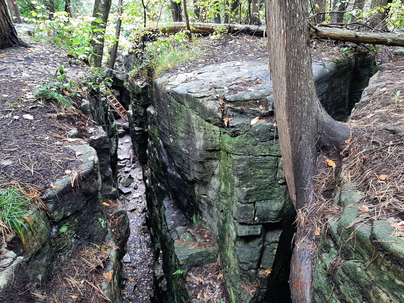
OpenStreetMap — Bruce Trail · OpenStreetMap contributors
OpenStreetMap relation 5583286; ODbL representation that may be segmented or branched, distinct from an official navigation file.
Race feedback
Have you already run this race?
Share your feedback: conditions, course marking, atmosphere, difficulty or tips for future participants.