
Hiking · France
Boucle des Vignes à Marin, des bords de Dranse aux Bollemins

Loading route and elevation profile…
From Le Larry towards the river
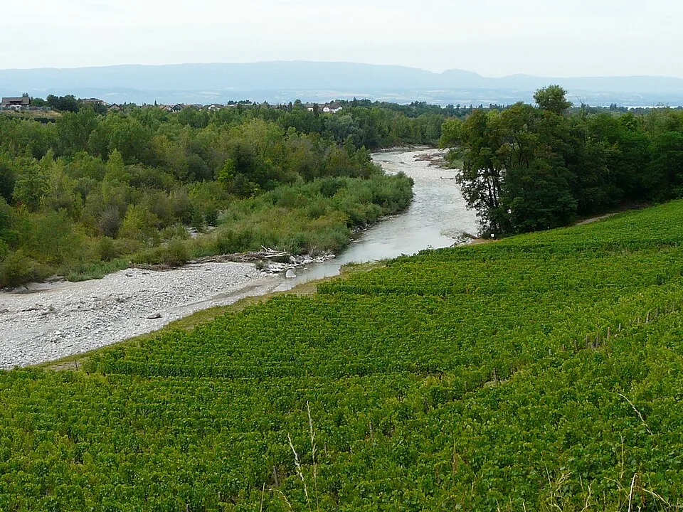
Look for the blue markers by the car park at Le Larry. A short approach serves both ends of the walk. On the outward leg the Chemin rural de Dessous and the Chemin de la Douceur lead down the slope. Vignes de Pont preserves the name of a settlement affected by flooding on the Dranse.
Back up through Les Bollemins
At about km 4.3 the track takes the Route des Moulins. The detour follows the Chemin de Cornallaz before rejoining the route promoted by the tourist office. Look for the Route des Bollemins around km 5.3 and the Chemin de Flogey around km 6.5. The Noyeraux and Millioches lanes lead back to Le Larry.
Two routes from the same car park
Both walks use the same car park. The tourist office track measures around 8.3 km. The 9.5 km file on this page includes the Moulins and Cornallaz detour. Choose your track before leaving the car park.
Notable places
At a glance
- Start
- Marin, Chablais, Haute-Savoie
Metrics calculated from the Trailboard track
Tracé de la randonnée sur OpenStreetMap · Contributeurs OpenStreetMap
OpenStreetMap geometry from the trailhead, ODbL 1.0.
Race feedback
Have you already run this race?
Share your feedback: conditions, course marking, atmosphere, difficulty or tips for future participants.